![]()
![]()
| Woodend
microburst 3rd May 2007 Images � Clyve Herbert, Jane ONeill |
||
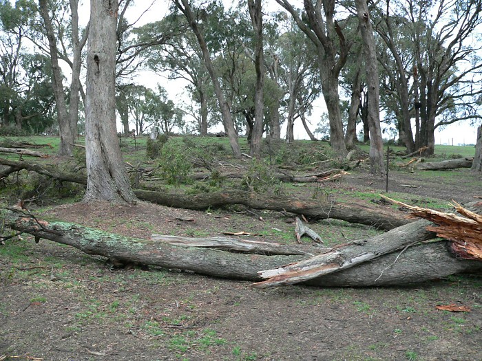
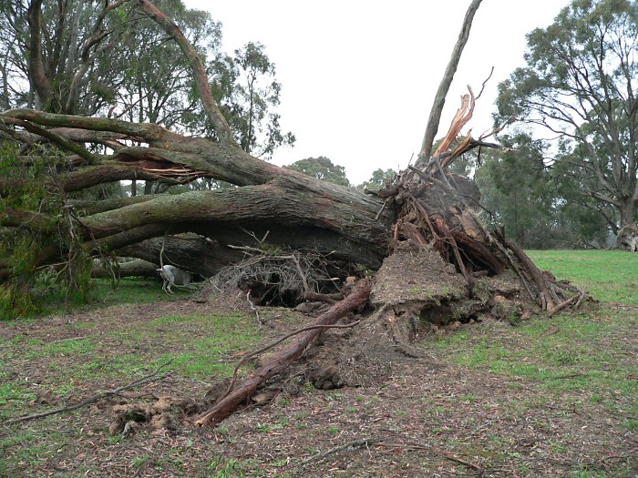
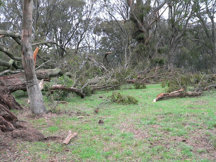
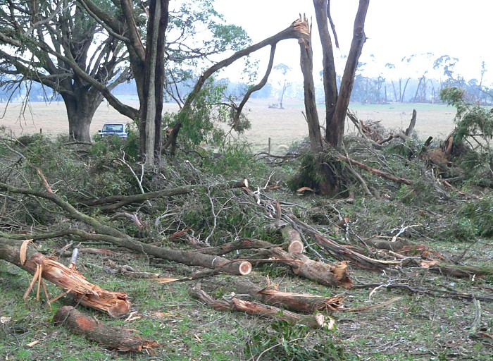
DAMAGE & TRACK REPORT - CLYVE HERBERT The narrow path of damage commenced northwest of Crows Road and remained narrow until approaching the northwest edge of Woodend then widened out to dissipate rapidly within the central Woodend township...most trees along the path were felled pointing southeast indicating a narrow moving microburst....At Crows Road near the entrance of the microburst, damage occurred here at approx 1403 to 1405. Damage commenced in northwest Woodend around 1409 to 1411. Wind traces at Buckland Street just northeast of the main Path and Nutfield Close timed the max gust (Buckland Street 96kph 1411 and Nutfield Close 88kph another 500m northeast at 1412hrs. Damage dissipated rapidly southeast of the central Woodend township. Duration of strongest winds varied
between 1 and 2 minutes, residents reported a sound like continuous thunder. |
||
| Click on the image thumbnail for the larger image... | ||
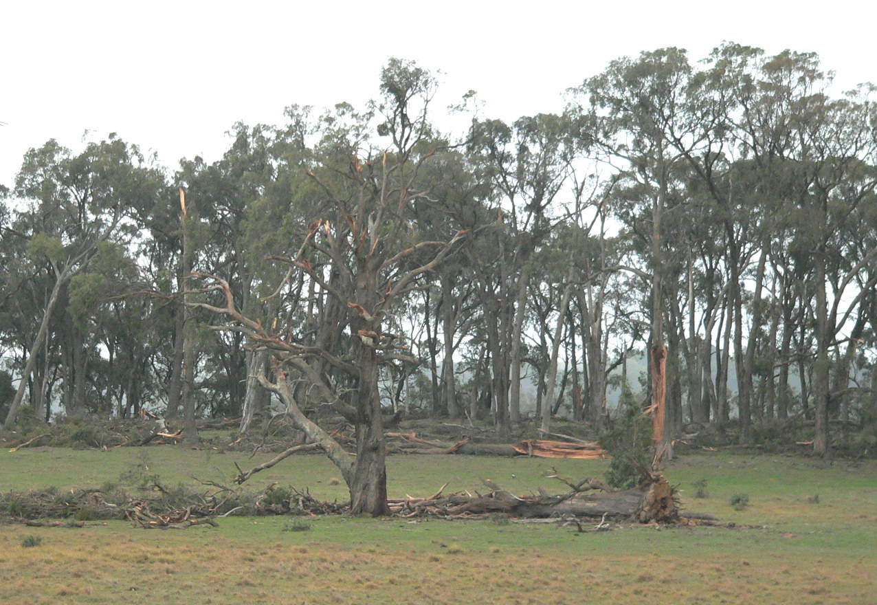
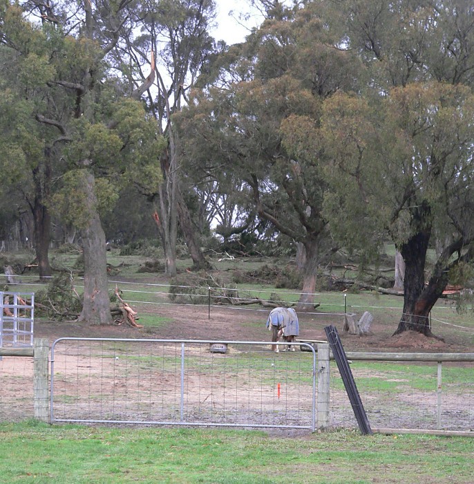
| Damage track (still to be finalised) and damage in central Woodend
|
||
 |
 |
 |
 |
 |
 |
| Damage northwest of Woodend (Montgomery Lane)
|
||
 |
 |
 |
 |
 |
 |
 |
 |
 |
 |
 |
 |
 |
 |
 |
|
Victorian Central Ranges Weather Outlook & Observations |
||
| Copyright applies to all images appearing on this site � | ||
