| Katamatite Supercell 18th December 2003 ...images from Clyve Herbert, Jane ONeill, Chris Giles with report & video to follow
|
||
 |
 |
 |
 |
 |
 |
 |
 |
|
 |
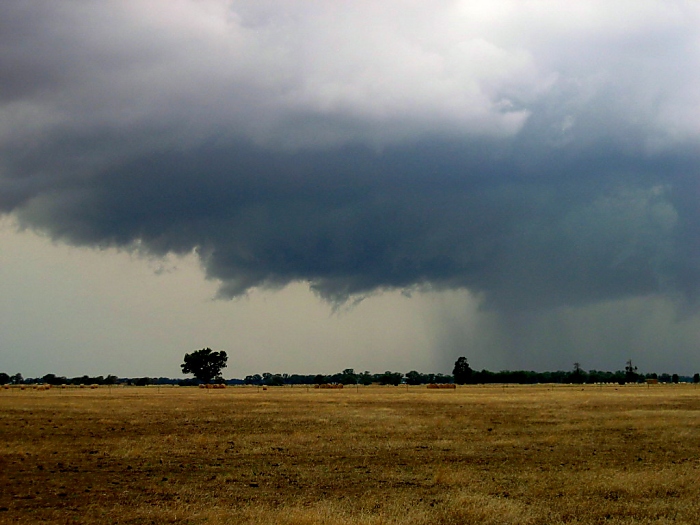
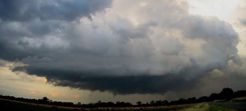
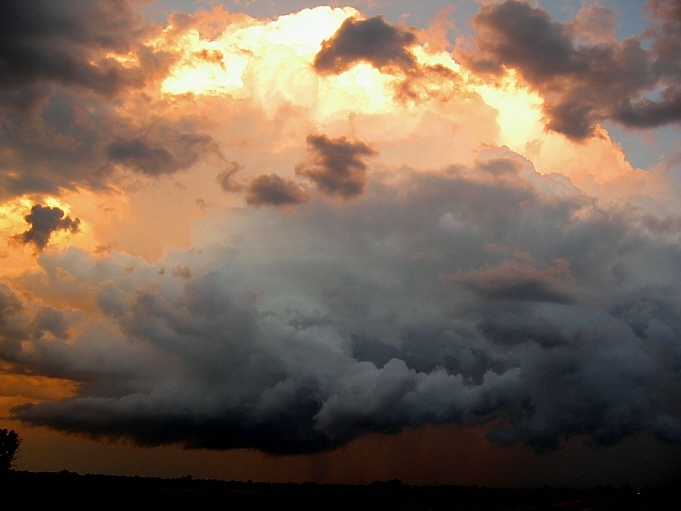
<------- This image shows the clear slot along the southern side of the flanking line - video imaging shows strong subsidence within this zone and a surface southeast flow was evident, the storm had a strong inflow along the flanking line at this stage. |
 |
 |
 |
 |
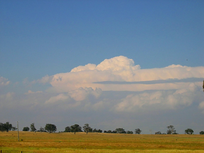
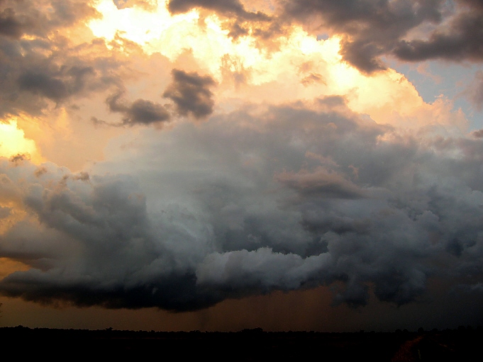
| Images of storms in the area taken from south of Wangaratta - courtesy Chris Giles | ||
 |
 |
 |
| Situation Analysis
|
||

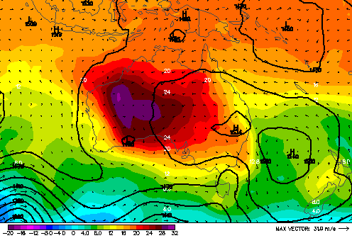
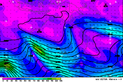
 Above: MSL analysis 4pm 18/12/2003 (left) Yarrawonga 128km radar loop afternoon / evening 18/12/2003 (right) Above: 850hPa (left) and 300hPa (right) analysis for 11pm 18/12/2003 Below: SE Australia radar loop
|
||