| Stormchase 28th November, 2009 | |
| A curiosity of
coastal areas around Darwin especially the more northern coasts are the occasional
waterspouts, several or more are recorded each year especially in the lead up and during
the wet, they develop for the most part under vigorous deep cumulus (Towering
Cumulus/Cumulus congestus), another factor is the time of occurrence which is mainly
in the morning, the atmospheric profile shows high surface to 850hpa (1.500M) moisture
with a reasonable lapse rate so convective low level parcels can be vigorous..the first
image in today's sequence shows a deep and stationary cumulus over near Cullen Bay
(Darwin) which occasionally showed brief rotation near its centre but unfortunately
refused to drop a spout, most of this morning activity over the sea dissipates after 10am.
With high moisture around the Top End today the expectations are for general showers and storms and by 2pm some explosive convection gathers east of Darwin around Fogg Dam, by 3pm the individual cells have merged into a monster tropical storm punching 50.000 feet and bolting powerful ground lightning strokes. Pretty soon this area of storms evolve into a westward advancing squall line. We drive through the rain core with blinding 'whiteouts' and a strong microburst blowing branches across the road. Finally we clear the storm and head for the Stuart Hwy turn south and parallel the squall line through Noonamah. As on previous days the maximum strength of these huge storms usually means their death as they cool a vast amount of the region, we record pre storm temperatures around 36c with temperatures falling to 23c in microbursts. After these storms we head south towards Adelaide River where new storms unaffected by storm outflow are growing we come across well known storm chaser Michael O'Neill and a film crew doing a doco after hand shakes we continue south and take a back road from Adelaide River into pretty country on the Daly River road and finally we end up near Hayes Creek under a stupendous cloudburst and flash flooding...A great day in the tropics comes to an end as even here storms die quickly with the fading sun....We head back to Darwin for a great dinner with Top End storm chasers...and another sunset!. Report: Clyve Herbert Photography: Jane ONeill / Clyve Herbert |
|
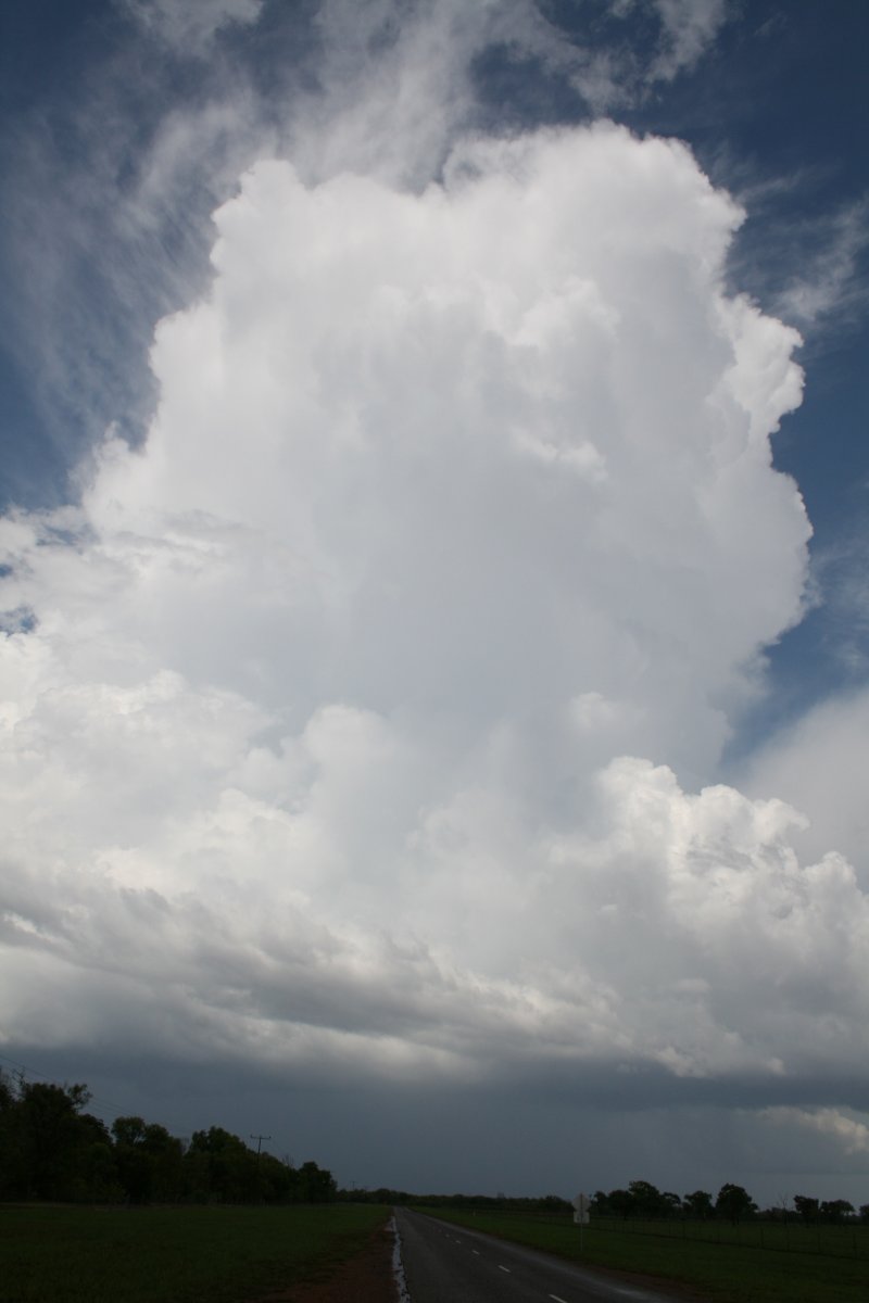
 Towering cumulus base, Cullen Bay which showed occasional brief spinups |
 Big standalone storm gets going, Fogg Dam |
 ...gets bigger.... |
 ...and bigger |
 ...and spectacular!! |
 This cell was throwing lightning bolts into clear air from its sides |
 Multicells near Fogg Dam start to merge and form a westward moving squall line |
 Details of advancing squall |
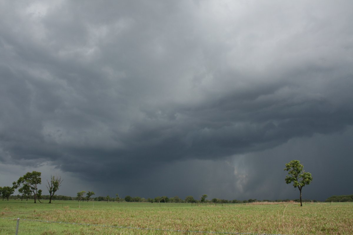 |
 Rapid rotation in the outflow top centre of pic |
 Outflow nose spills across the highway near Noonamah |
 The temperature under this outflow nose dropped to 23C |
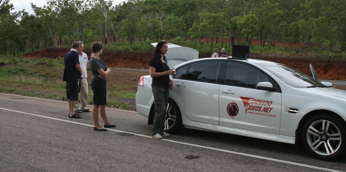
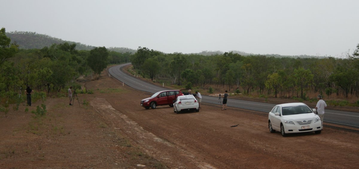 Top End chasers and film crew |
|
 We caught a new storm near Hayes Creek (Dorat Road) |
 Fantastic flash flooding near Hayes Creek (south of Adelaide River) |
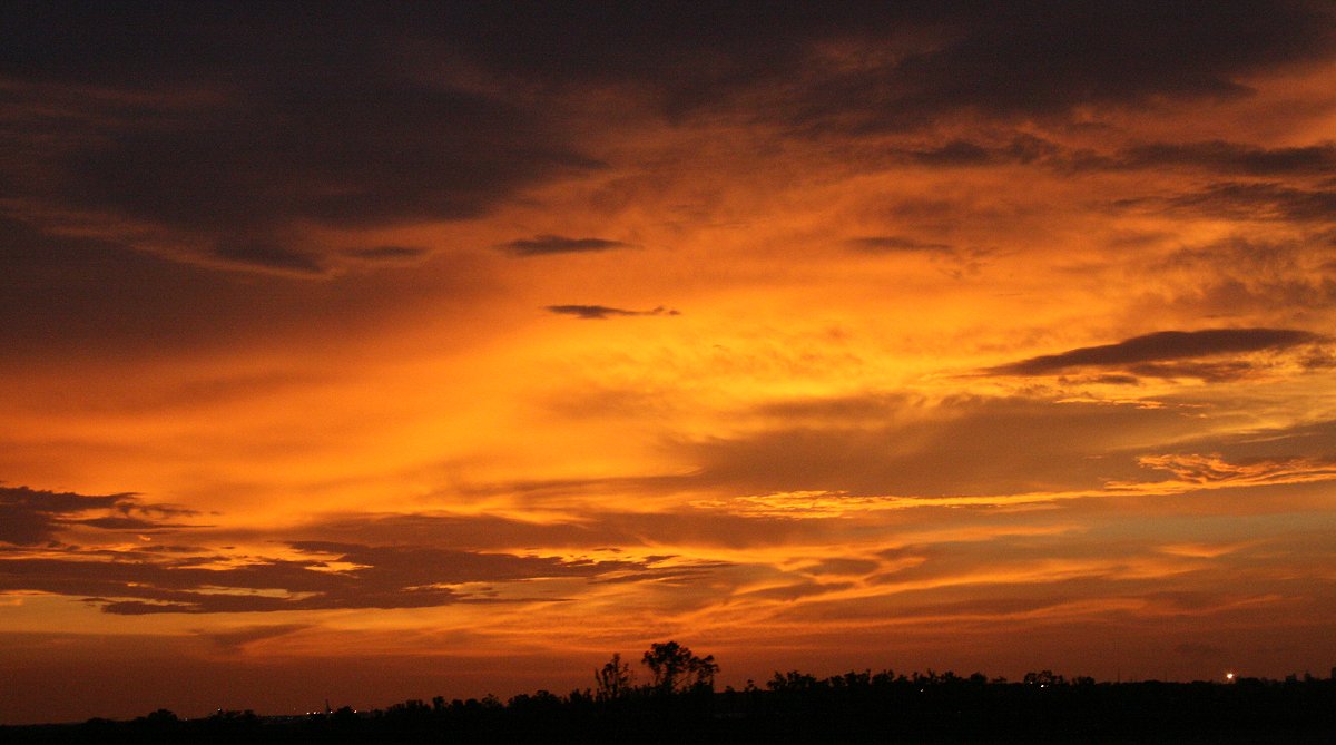 ....and...another Darwin sunset... |
 Happy Top End stormchaser gathering |