| Stormchase
Day 11: Giddings, TX to Magnolia, AR 10th May, 2009 Report: Clyve Herbert |
|
| A
quasi-stationary cold front extended east-west through southern Arkansas (AR) and southern
OK. We commenced our drive east from Giddings, TX with the aim of getting into northern
Louisiana (LA) to pick up projected convection mid to late afternoon. We reached the near
eastern border between TX and LA around 1pm and crossed the border between Milam and Many.
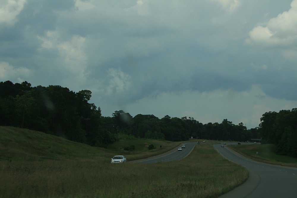
During the morning and early afternoon, streets of congesting cumulus grew over eastern
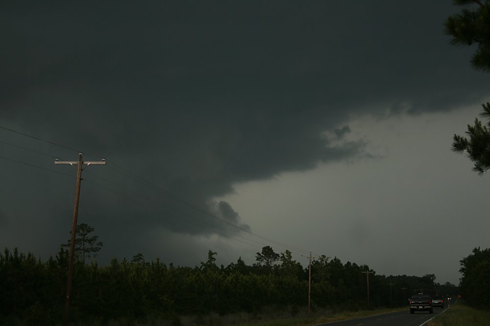
Texas. By 2pm, some towers over northern LA were reaching glaciation points and a large
multicell complex appeared northeast of Natchitoches. The biggest problem with
stormchasing in Louisiana are the large forested areas....they obliterate half to
three-quarters of clear viewing, it is a very difficult state to chase storms. We noted several weak outflow boundaries developing south and southeast of a strengthening storm near Saline as we headed in that direction. As we approached Saline, and rounded a corner, we had a limited view of a developing wallcloud. We pulled over onto grass and set our task at photographing the storm. The wallcloud was sporadically rotating (this storm was tgornado warned between 1530 and 1600) and developed an inflow tail on its northeast flank which showed rapid movement to the updraft core. The storm appeared to be wrapping rain around its western side. After about 10 minutes, the wallcloud became enveloped in rain and suspect the main updraft core collapsed. We packed up our gear and drove into Saline with torrential rain and flash flooding. The entire area developed into a large rain area and our day was done. |
|
 Cumulus developing eastern TX late morning |
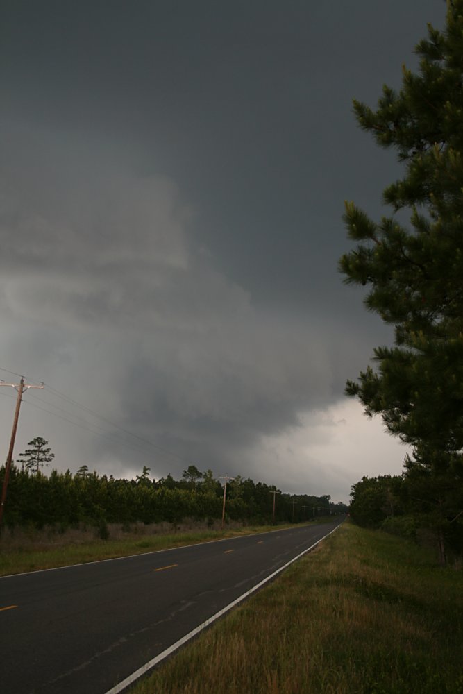
 Deep cumulus developing northeast of Many, LA |
 Outflow boundary, southern quadrant of a developing multicell northeast of Natchitoches. |
 Developing wallcloud near Saline |
 Main updraft core near Saline - the inflow tail can be seen just to the right of the centre of image |
 Rain appearing over the western quadrant and an inflow tail moving rapidly from right to left feeding into the updraft core |
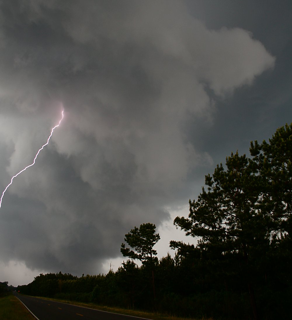 Wallcloud and lightning near Saline. Wallcloud showed sporadic rotation |
|