|
 |
 |

 Harald Richter (BoM) posted these radar images and commented on the austpacwx list: "This storm looks "classic" in parts, rather than the very common HP type storm. The best midlevel circulation I could find existed around the time of your radar screen grab - 4:50z or 3:50pm local time. I have attached a reflectivity slice transsecting the storm at 1.5 km (altitude), and evidence of a strong mesoscyclone in the base velocity around 4.5 km above radar level. The reference point marks the centre of the midlevel circulation 8 km WNW of Mount Macedon (MCD). You can see how the low-level core has been deformed by the circulation aloft forcing hydrometeors to "adjust" their downward trajectory."
|
||
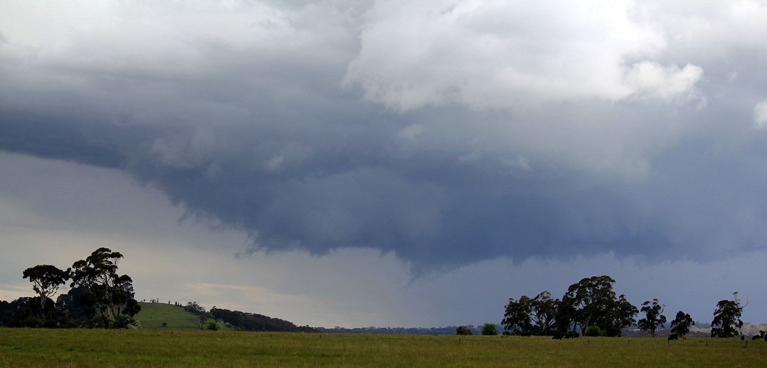
 The first storm development north of Carisbrook around 1350hrs, this storm appears as a mid level weak multicell with infrequent thunder. (Clyve Herbert) |
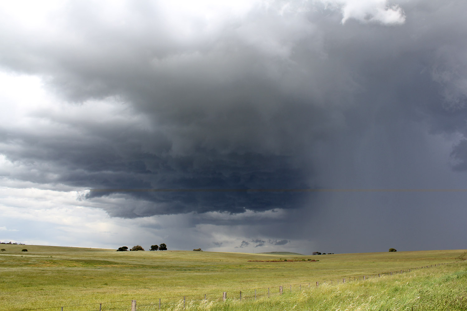 East of Carisbrook the cell rapidly intensified. (Jane ONeill) |
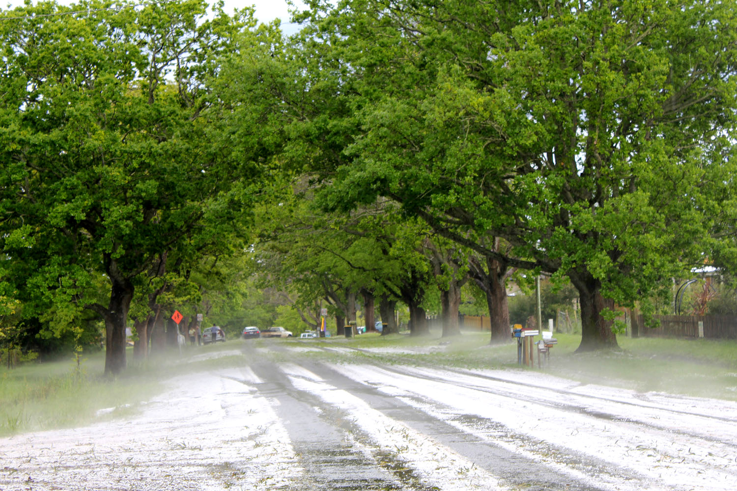
 Even at this stage the storm was dropping 2 to 3cm hail. (Clyve Herbert) |
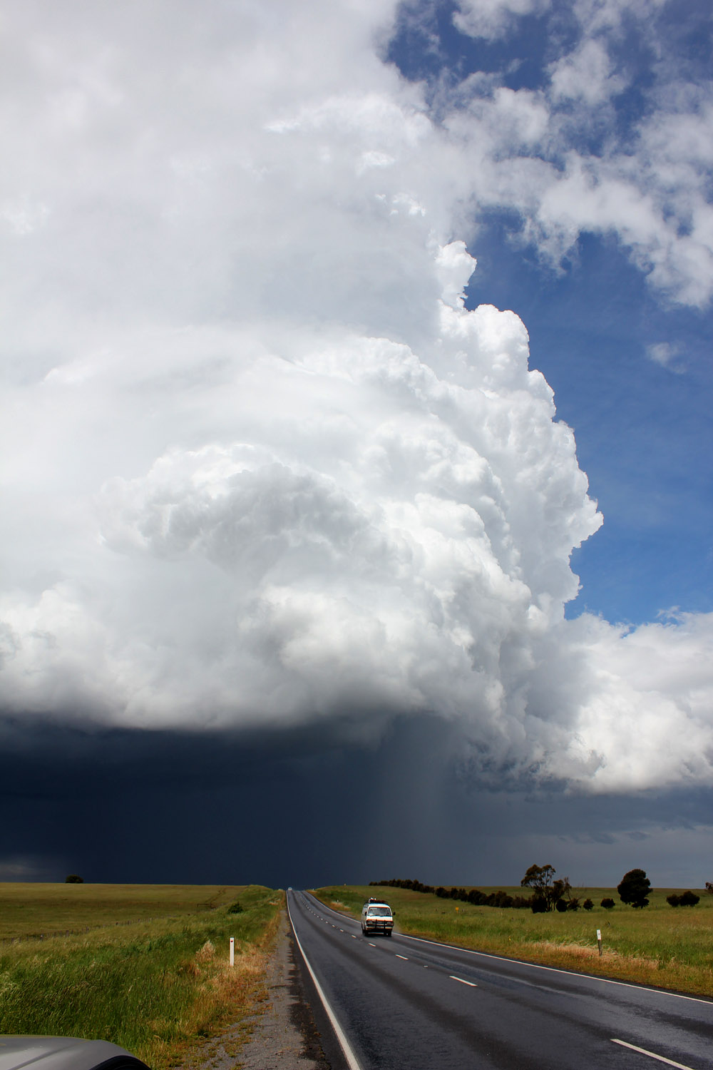
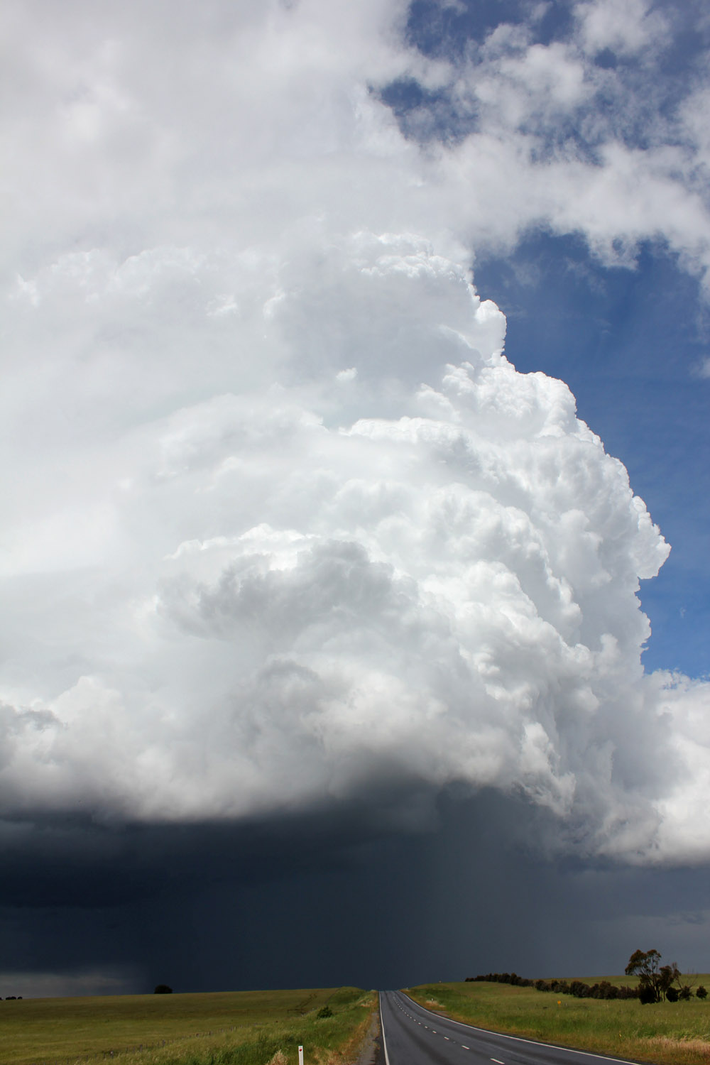
 The explosive updraft exhibits its stupendous energy looking east from near Carisbrook....(Jane ONeill) |
 (Clyve Herbert) |
 (Clyve Herbert) |
 In the earlier stages the storm generates copious amounts of 1 and 2cm hail. (Jane ONeill) |
 (Jane ONeill) |
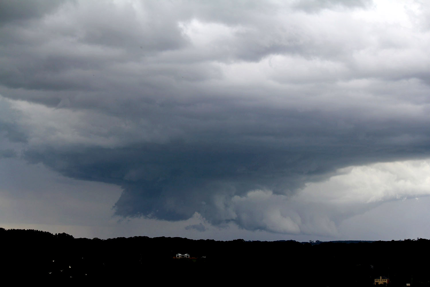
 Near Newstead the rainfree base area develops a smallish wall cloud and commences to rotate. (Clyve Herbert) |
 (Clyve Herbert) |
 (Jane ONeill) |
 Near Mt Franklin the rainfree base occasionally develops short lived funnels.(Jane ONeill) |
 Parts of Glenlyon were covered in hail-( 2 to 4cm stones), plant debris covered the roads (Clyve Herbert) |
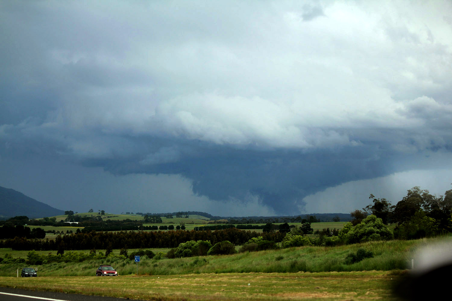
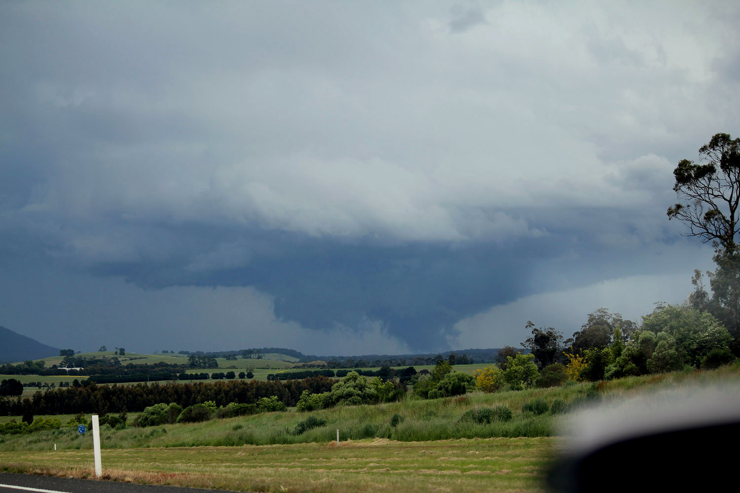
 These images show the expanding wallcloud east of Trentham, the storm was producing continuous thunder. (Jane ONeill) |
 (Clyve Herbert) |
 (Jane ONeill) |
 (Jane ONeill) (Jane ONeill) |
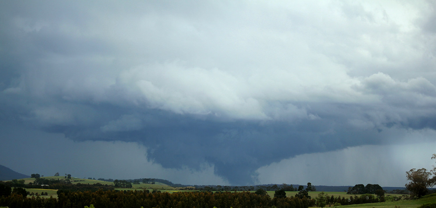
 These two dramatic images show the tornadic phase and correspond with the hook echo exhibited on Melbourne radar, at this stage the wall area was over the southeast Wombat Forest and approaching Gisborne. (Jane ONeill) |
 (Jane ONeill) |
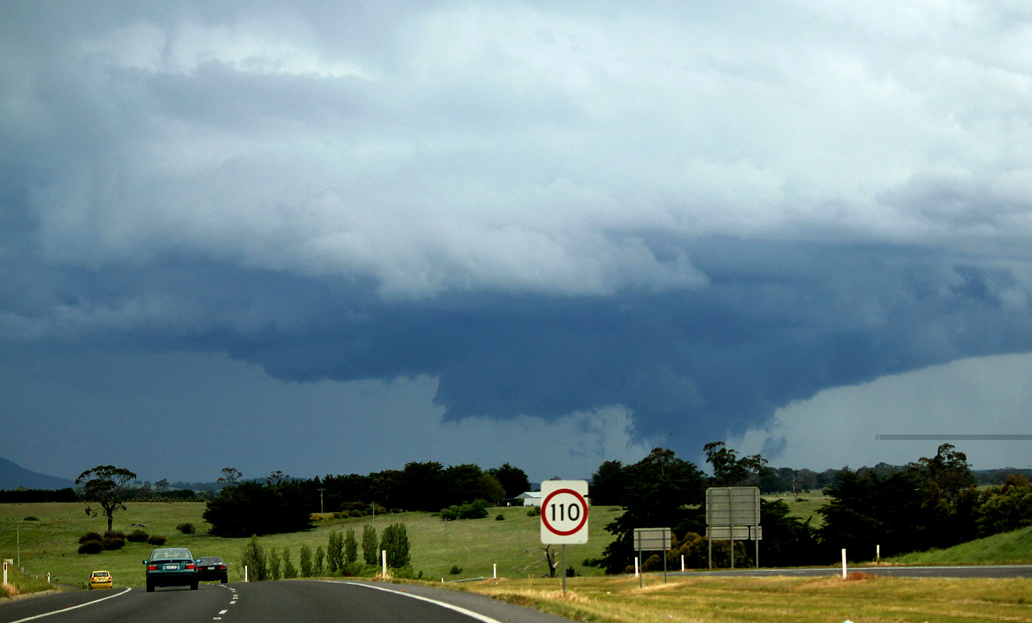
 The following images exhibit the weakening phase of the wall (showing rapid rotation and near ground level and we believe was still tornadic) the storm rapidly weakened after passing through Gisborne but still dropped hail of between 4 and 7cm, hail of 4 to 6cm also fell at Woodend. (Jane ONeill) |
 (Jane ONeill) |
 (Jane ONeill) |
 (Jane ONeill) |
 (Jane ONeill) |
