| Stormchase 22nd November, 2009 | |
| I never cease
to be amazed at the dynamics of storms and their ability to do something
unexpected...Today we head inland from Darwin and hunt the afternoon convection, the
options are sit at Windows on the Wetlands and watch, or Berry Springs for a cup of
coffee, but we end up at Noonamah (again) and wait for deeper convective areas. Noonamah
used to be a good spot for spotting....hills are at a premium over the Top End near
Darwin...Noonamah is about 30 metres higher than the surrounding district, up here that's
a hill!. Unfortunately, the old paddock spotting area has been fenced off so sitting on
the road reserve is a poor option as the temperature spikes near 38c and a dew point
around 24c. We head south towards Adelaide River just as some reasonable convection kicks off on the eastern Litchfield region. Typical convection over the Top End in late November can be tricky to follow - very deep congesting cumulus will power up to 20 or 25.000 feet, produce a sharp torrential shower and disappear in about 15 minutes...It's the deeper convection we are looking for with tops powering to 30 or 40.000 feet. Its not until late afternoon that an area of stronger activity develops near Acacia, matures into a reasonable multicell and sends a strong microburst southwest of its rain shaft, we are quickly enveloped in blowing rain and flying leaves. We retreat south to watch the outflow nose start to dig into a line of deep cumulus and eventually produce a surprising outflow-inflow region complete with wall cloud. We head to Manton Dam about 4 kms west of the Stuart Hwy, trees block our view but occasionally we see the wall cloud, arriving at the dam the wall cloud drops a funnel and for those brief seconds we stare in disbelief...in good chaser response we drop our bundle ...Where's the camera (Video) tangle ourselves in everything in the front seat, stagger about, rush to the dam edge, leave the cap on the lens...that sort of stuff !.... At the dam water edge we get a good view of the wall cloud and in-feed tail occasional lowerings and weak funnels continue under the wall cloud, we are stunned. Its difficult to comprehend these tropical storms what had developed was not expected but there it was. The inflow tail persisted for another 40 minutes as the main updraft rode the outflow nose, we followed the storm for another hour and ended up at Berry Springs before the storm rather quickly weakened.....Another Top End storm that surprised.... Report: Clyve Herbert Photography: Jane ONeill / Clyve Herbert |
|
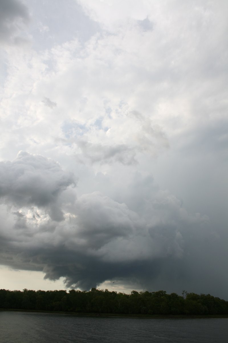
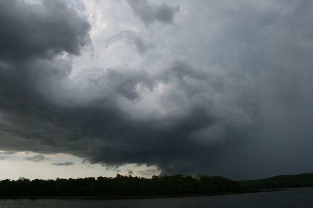
 Multicell gets going near Acacia, late afternoon |
 Fallstreaks cascading from the previous rainfree base - the white shafts gave the impression of the possibility of hail |
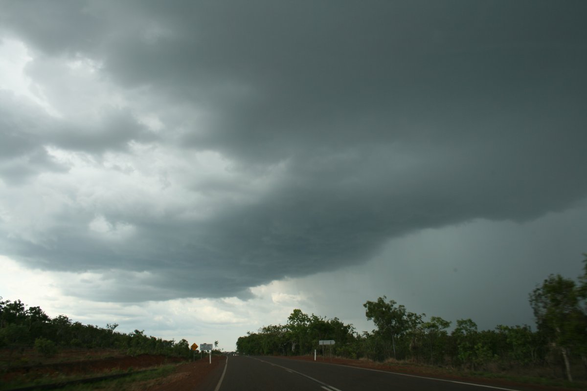
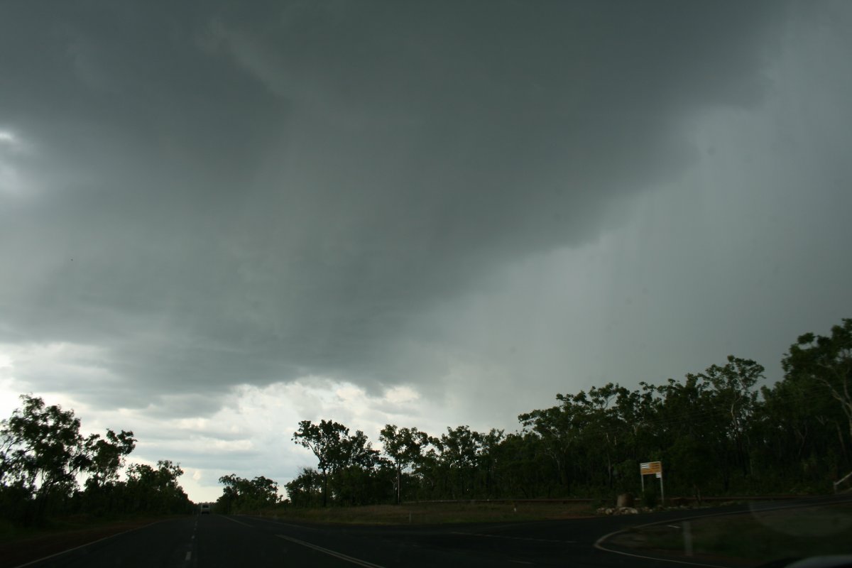
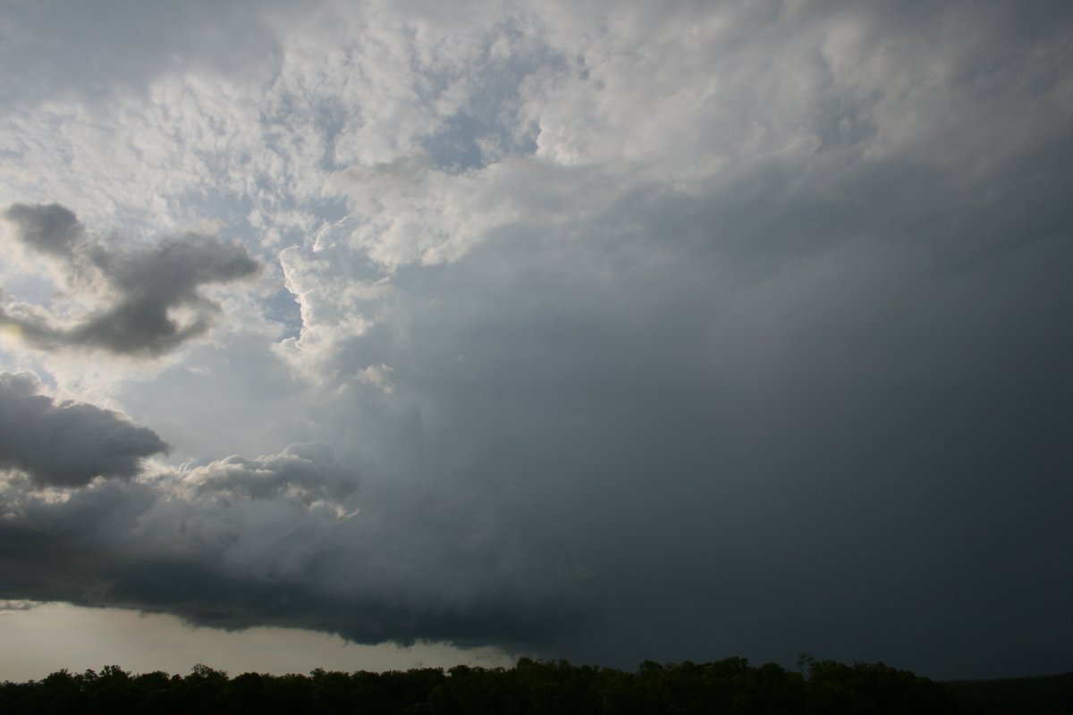
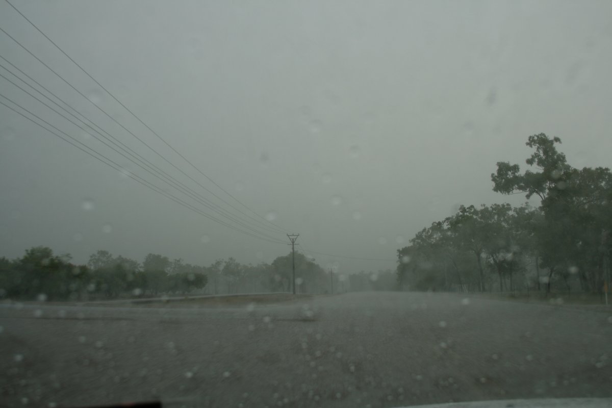 A typical Top End blinding rainstorm |
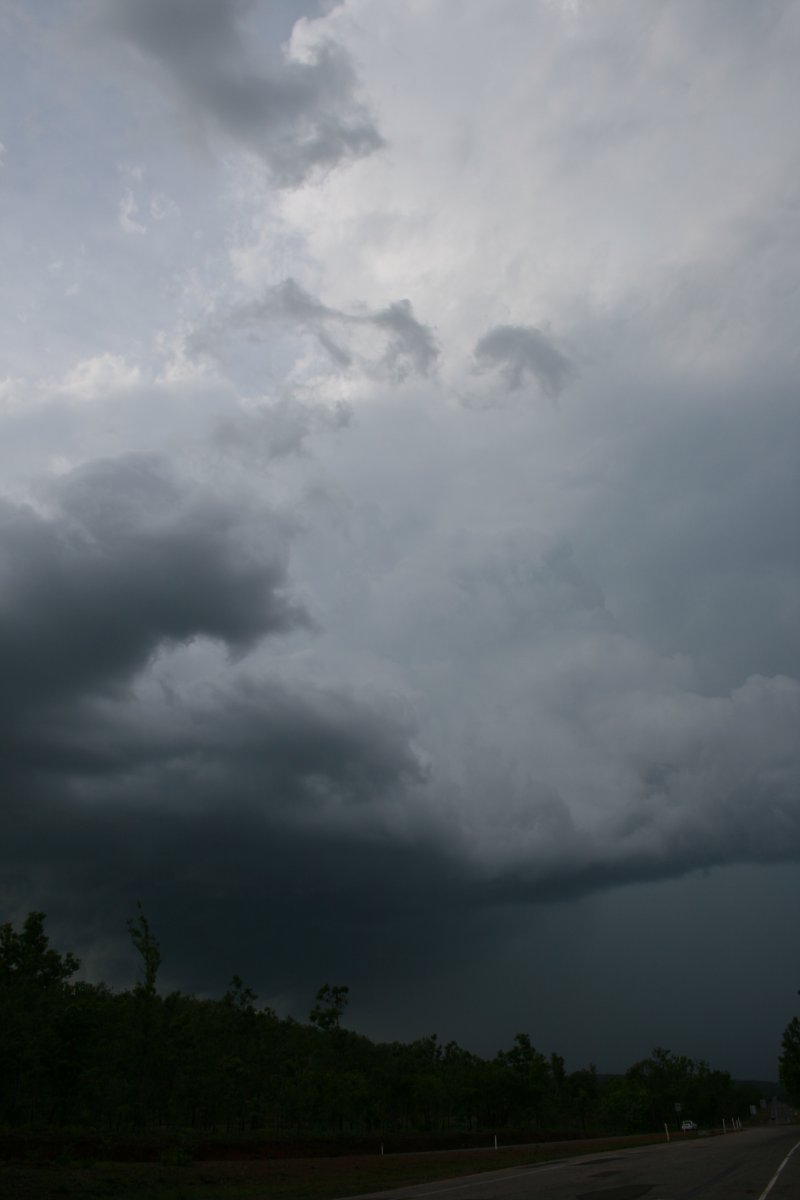 The main updraft core was narrow and potent |
|
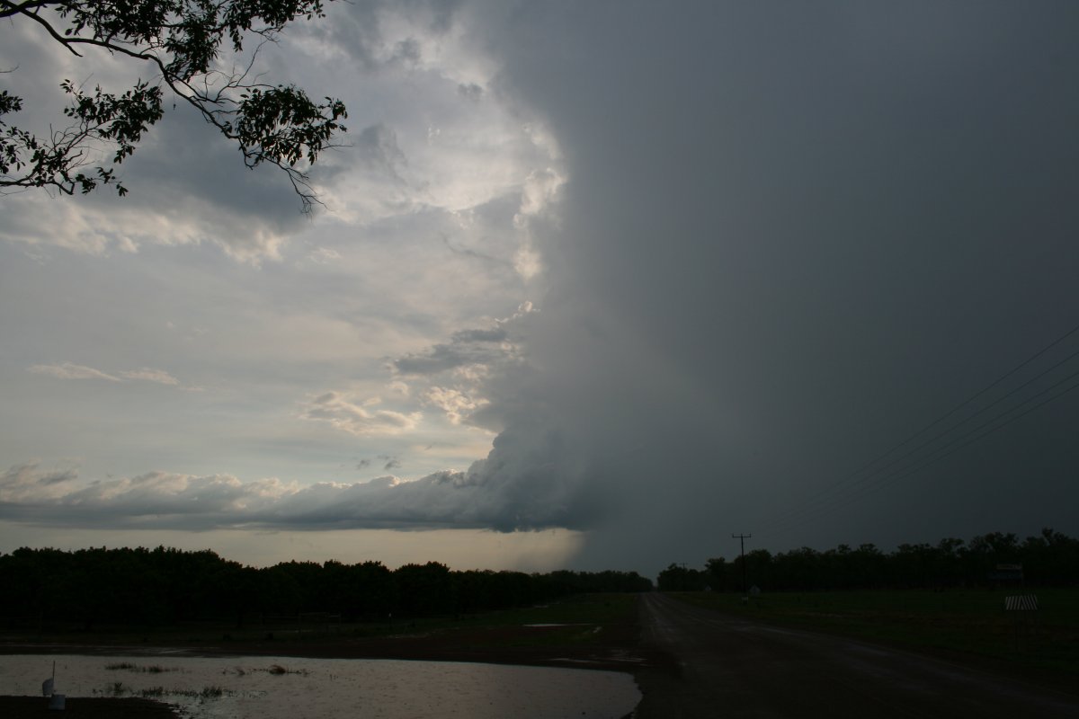
Wall cloud gets its act together under the flanking line, Manton Dam |
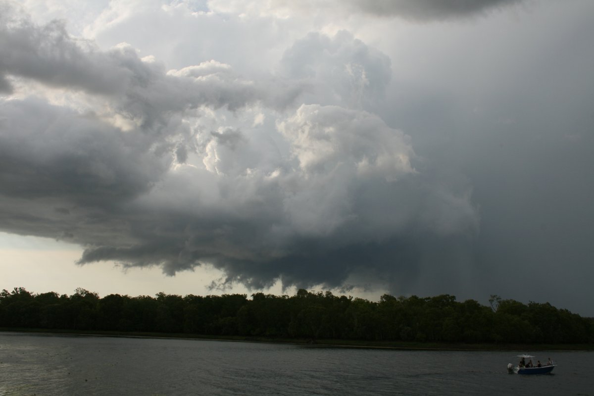 The flanking line showed rapid inflow to the updraft, rthe ragged wallcloud was rotating |
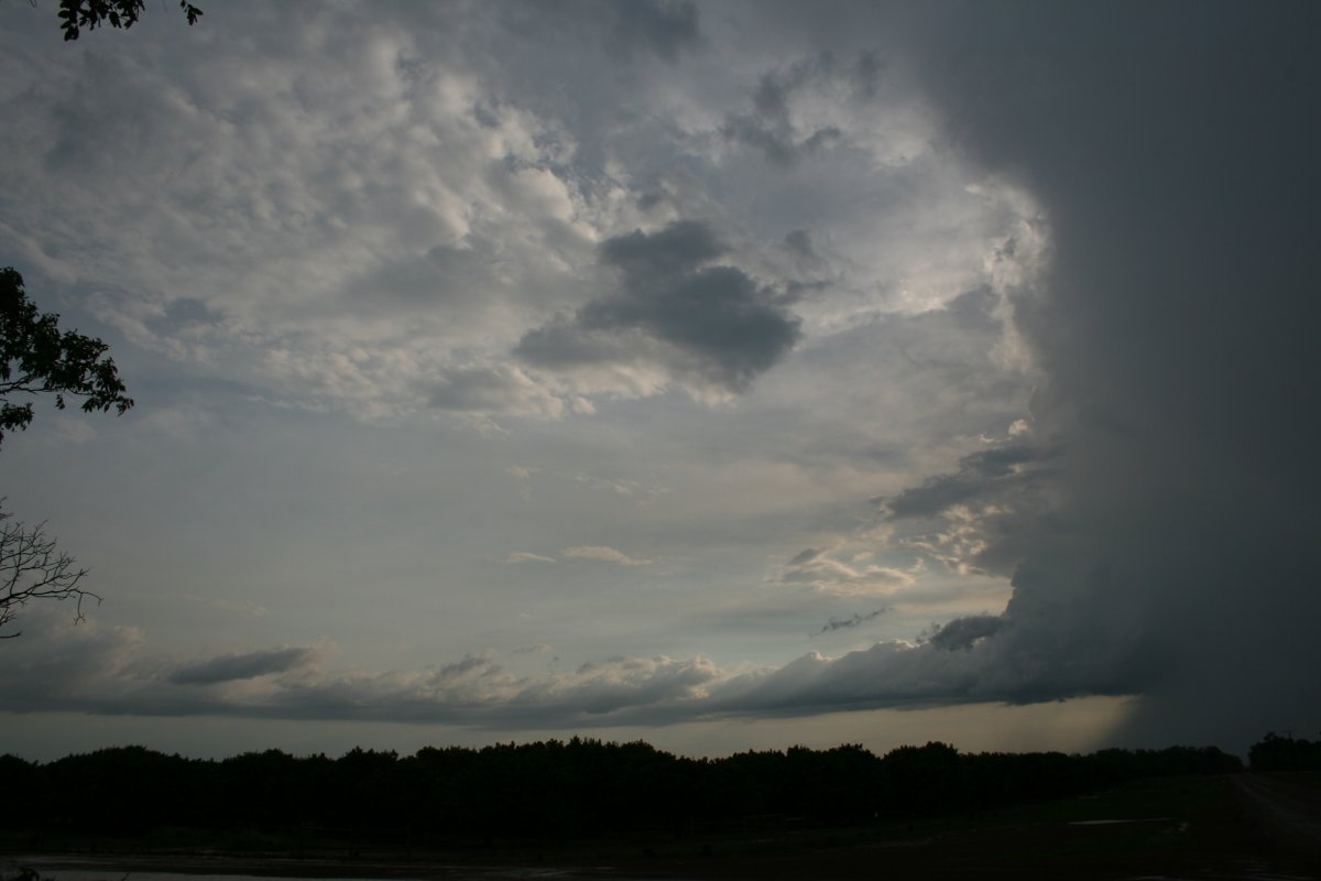
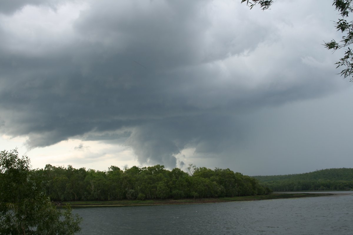 Rotating lowerings occasionally dipped to almost ground level and occasionally produced fine funnels |
 The rotating wallcloud was unstable with lots of rotating fractus - in this case, near a defined lowering |
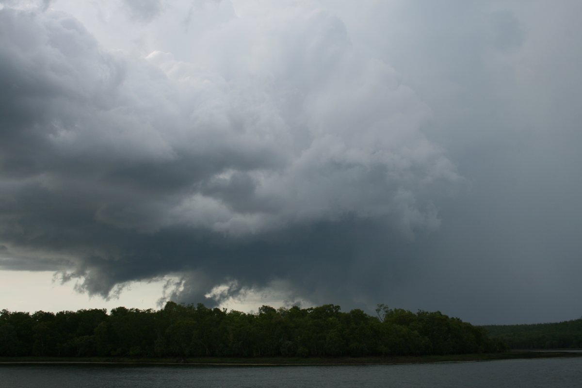
 This storm was primarily outflow dominated but struck a balance with the inflow for about 45 minutes, keeping the main updraft clear of the rain area |
 As the storm edged northwest, it commenced weakening |
 The 2 images show the inflow tail feeding into the main updraft. Note: the 'puddle' in the foreground had completely disappeared by the next day |
|
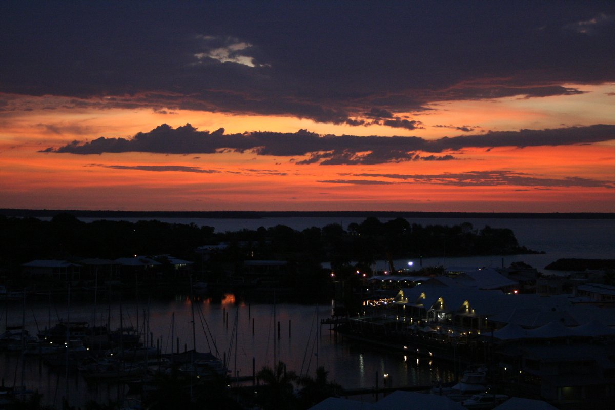 ..and another Darwin sunset! |
|