| Stormchase 26th November, 2009 | |
| After a couple
of days with rather dry air the moisture returns....an early morning storm drops 22mm and
today we are expecting some bigger multicells to develop, first we go for a boat trip
across Darwin harbour to Mandorah...Mandorah is a small community directly across Darwin
harbour west of the city, its a pleasant 15 minute ferry ride, its a great way to see the
waterways around Darwin and only 23 dollars return. Spotting big ships and flying fish and
the milk delivery at the Mandorah wharf....By the time we head back convection has already
started east of Darwin in the sultry conditions and by 1pm heavy showers are popping up
across the Darwin suburbs. The early development of showers and storms unfortunately
may herald the end of activity for the inner Darwin region as the heavy rain cools the
local area....and that's what happens, we head out to Fogg Dam and sit. By 3pm a few
small showers band together and generate a large multicell complex...lots of thunder and
more flash flooding...we chase around the Top End like mad rabbits in between the storm
cells...We even record a brief burst of hail !! east of Humpty Doo. The multicell
continues to grow larger but eventually becomes strongly outflow dominated....that's the
end of it with cool outflow all storms die within 30 minutes...we head back to
Darwin...and another bloody sunset. Report: Clyve Herbert Photography: Jane ONeill / Clyve Herbert |
|
 Pretty cumulus patterns, Cullen Bay |
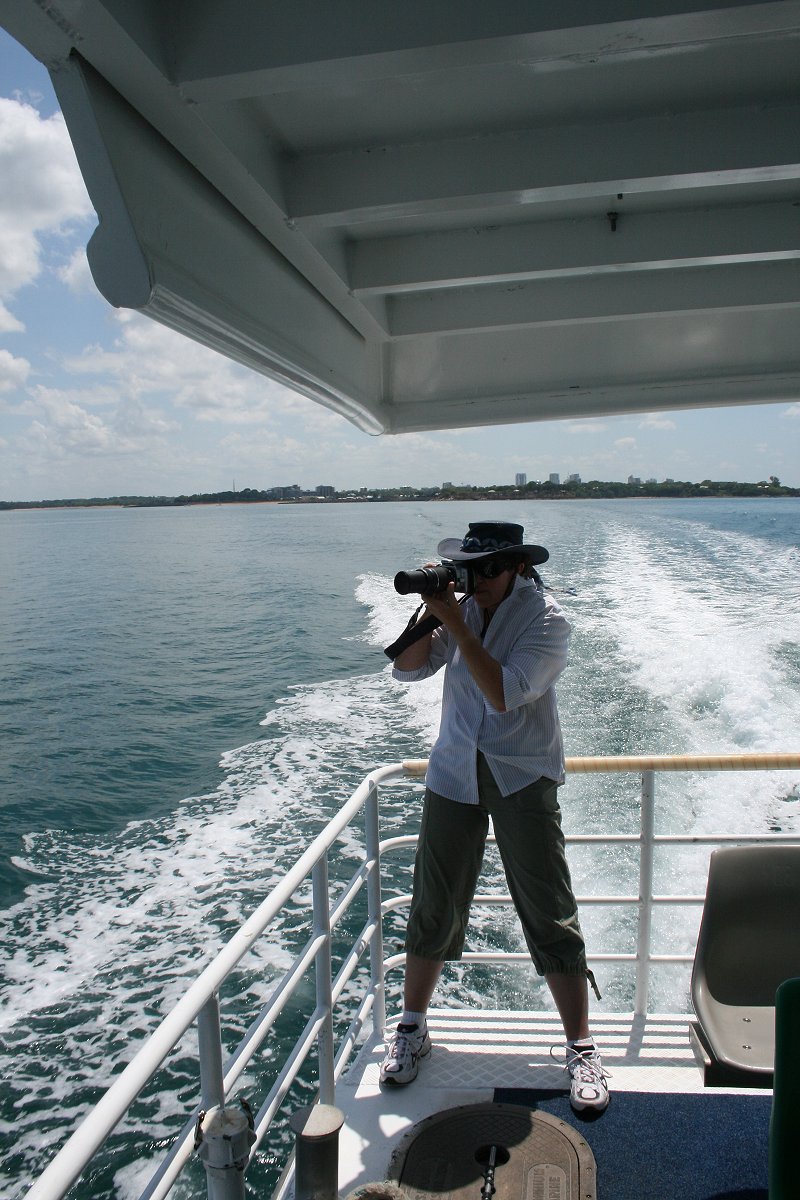 Trying to photograph flying fish |
 Container vessel and distant maritime cumulonimbus |
 Pacific Explorer ramps up the horsepower producing a decent bow wave |
 Mandorah Jetty & distant cumulonimbus |
 Milk delivery, Mandorah Jetty |
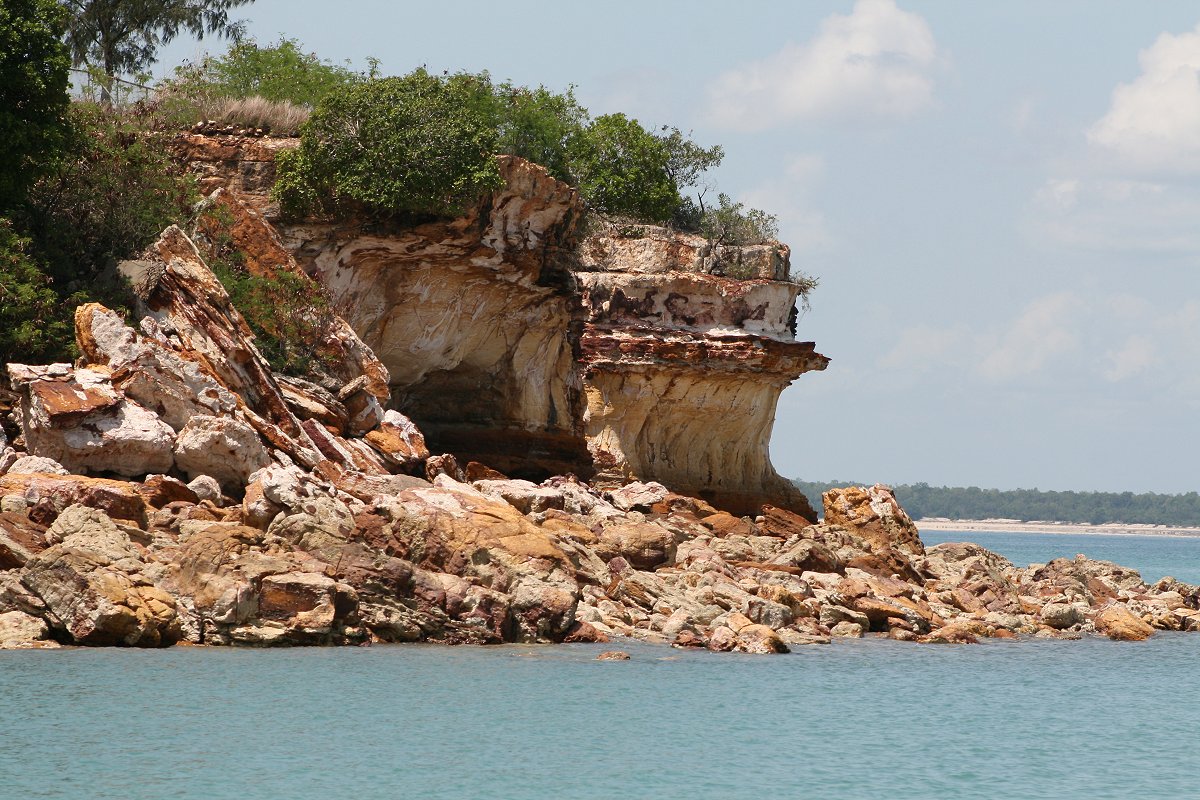 Crumbling cliff face, Darwin Harbour |
 East Point looking back towards the suburbs |
 Flame tree...I think |
 Picturesque setting East Point as tropical showers gather in the background |
 Early afternoon Darwin suburban shower |
 Early stages of a developing multicell, Fogg Dam - multicell sequence |

|

|
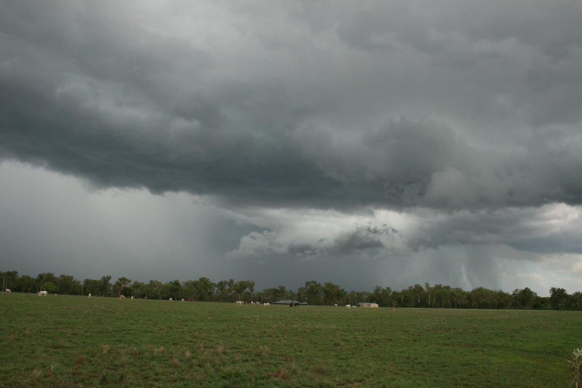
 Today with abundant moisture, the tropical showers develop into big storms, Alligator River |
 Storm near Alligator River - note backshearing anvil, top left hand corner |
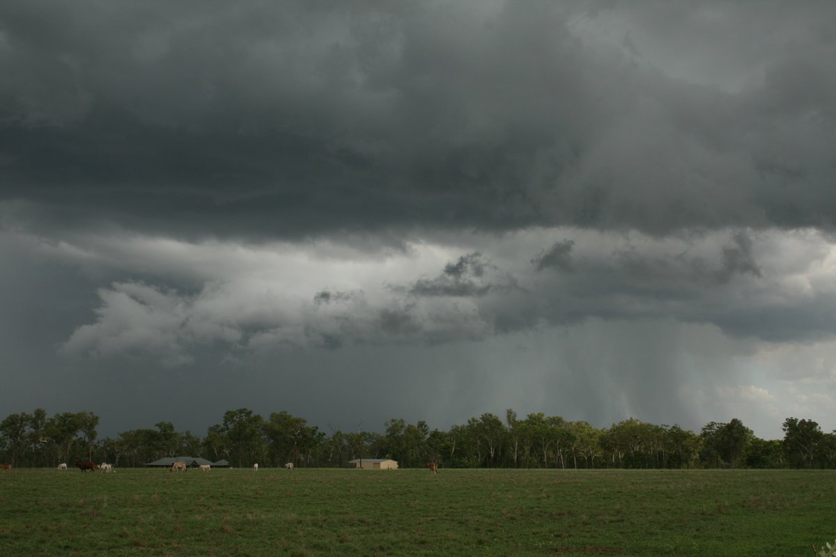
 By late afternoon, a very large storm approaching Noonamah and developing a complex outflow pattern |
 |
 |
 |
 Alignment of congesting cumulus developing on an outflow boundary, Acacia |
 Fantastic cloudburst, Humpty Doo |
 Big outflow gust front pushes northwest away from the now decaying storm, Palmerston |
 Deep convection Cox Peninsula punches through the cirrus shield |
 Storms evaporate rapidly after sunset leaving only the anvil tops |
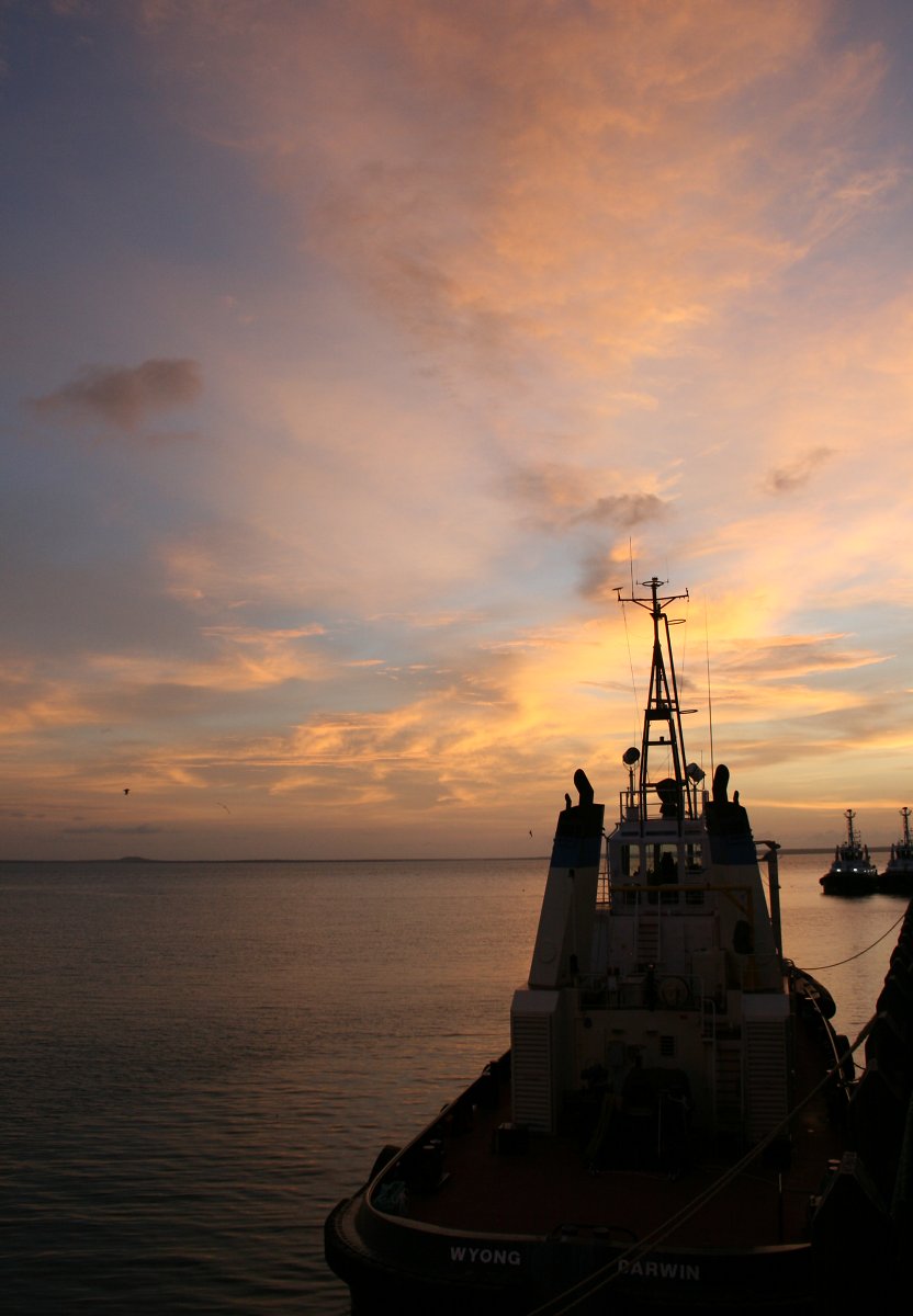 Tugboat Wyong..and another Darwin sunset |
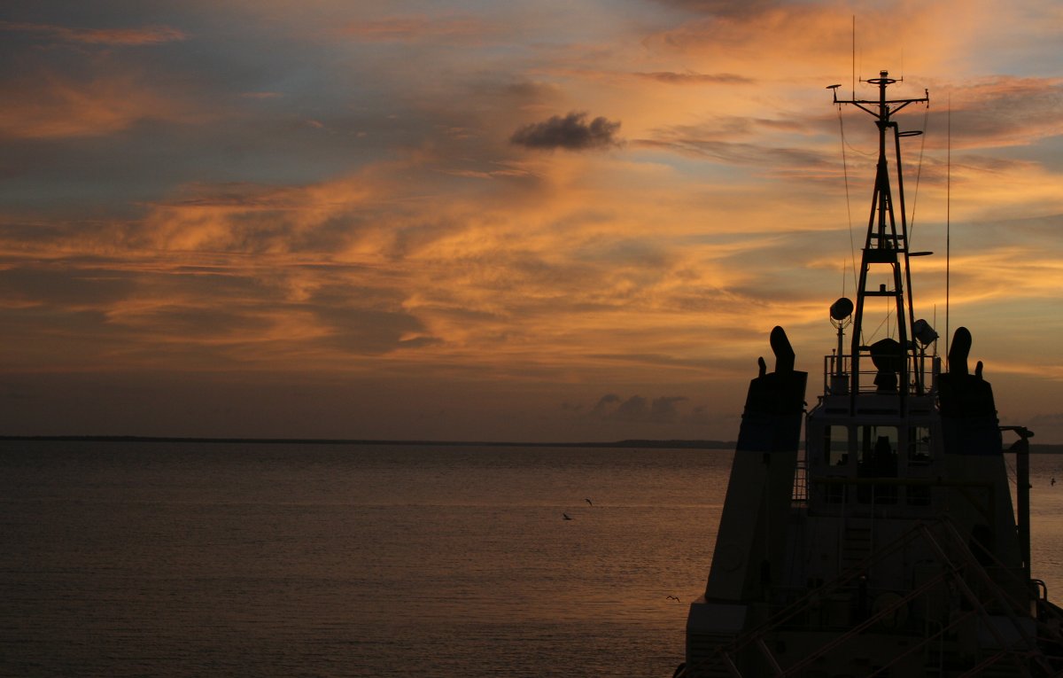 The storm anvil remnants can produce spectacular sky art.... |
|