| 8th May 2009:
Winfield, KS to Muenster, TX Report: Clyve Herbert |
|
| The predicted 1am storms
turned up at 5am in Winfield, south Kansas, around midnight an upper level disturbance
interacted with tropical moisture across central Kansas and together with a southward
moving cold front, generated a spectactular lightning show which extended into south KS
and northern OK by 5am. The line of storms that passed through Winfield generated strobe
lightning and torrential rain. Eventually most of eastern KS erupted into an MCS with
flash flooding and derechoes. The leading edge of storms moved into northeast OK and AK with the following cold front now dribbling south to reach Winfield around 7am. After the spectacular squall line at 5am, the cold front was barely a line of Altocumulus castellanus with typical wavy bases. Our aim today was southern OK, where isolated supercells were predicted. We travelled south from Winfield across the border to northern OK along Highway 177.These secondary routes are often lightly trafficked, unlike the busy Interstates. They also allow you to explore the smaller towns that proliferate through many parts of America. As we approached Ponca City, an industrial town in northern OK, we pass under the narrow cold frontal alignment, and move back into tropical warm air. As we head further south past Stillwater, then cross the I40 east of Oklahoma City, the brilliant green landscape of Oklahoma in these parts has more trees. By mid morning the hazy, murky, humid air basically blocks out cloud features...we found this a scourge in spotting any cloud developments on storm days. With the temperature approaching 30C and humidity near 75%, the setup looked interesting for southern OK. We pull over at Sulphur for lunch and sit in the shade of an oak tree near a sulphur spring, with a strong smell of rotten egg in the water. The park area was pretty, and fresh...especially after so much rain in the past week. We then moved further south towards Ardmore but decide to avoid the large town and headed west to the village of Gene Autry, which turned out to be a run down disappointment. We scouted west of the I-35 to look for any enhanced cumulus development that would break the cap.....the set up in this part of the world is odd for us Australians..the stories brought back to Australia by chasers is true..it's different! We eventually decide to head further south towards the Texan border and arrived at Marietta around 4pm. A cup of coffee and we wait for things to start. By 5pm, with the temperature approaching 32C and a DP of 22C, the bulk of scrappy afternoon convection had completely evaporated leaving an opaque sky. We check the visible satellite image for OK & TX and note the development of a single narrow line of storms SW of Dallas. We note a feeble alignment from Dallas to the OK border, about 70kms west of the I-35. We head south from Marietta, then along Hway 82 to try and intercept this weak boundary line. We eventually turn southwest and head for Bowie along Hway 59 and soon we see the first glimpse of a congesting Cumulus tower. The boundary line was generating tall turkeys as they attempted to break the cap. As we pushed further southwest, we noticed larger towers now sprouting rapidly, and the tops were glaciating, however, they evaporated quickly. We eventually ended up on a secondary road near Post Oak, and watched the sudden bursting of the cap..it seemed within minutes we were confronted with a monster Cb that loomed out of the plains. When the cap breaks in these parts, there is a veritable rush of energy. This large multicell soon split, with the left mover gradually separating from the weakening right mover. We drove through the weakening right mover and encountered 1cm hail and a brief weak funnel. It was amazing to see this right mover evaporate so quickly. Meanwhile, the left mover was gathering strength as it drifted northeast towards Nocona, and late in the evening with failing light, it quickly became a gigantic supercell. We raced to near the SW quadrant of the storm under a massive backshearing anvil and even in the now extrememly poor light, we could see the mothership style wallcloud. Radar was now showing this feature as a hook echo. We discovered the peculiarity of chasing in unfamiliar country and in the dark.......it can be nerve wracking!! As we close in on the wall cloud we gradually encounter more and more chasers, only lightning was only illuminating the storm features and briefly, we may have seen a funnel descend, but the day was lost and we decided in the interest of self preservation, we would lumber back to our motel. Within minutes of arriving at our motel, we were inundated by a massive deluge, swirling winds and flangs!! |
|
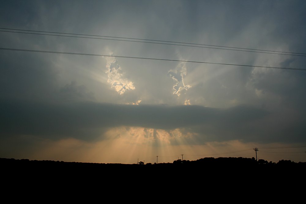
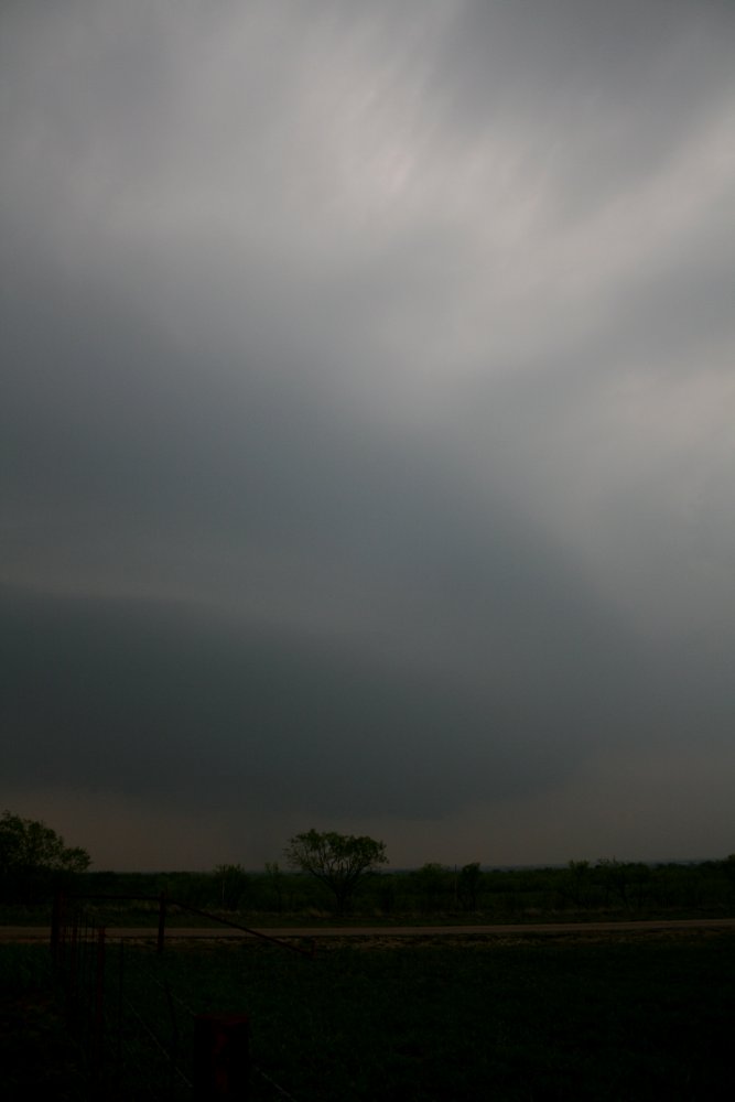
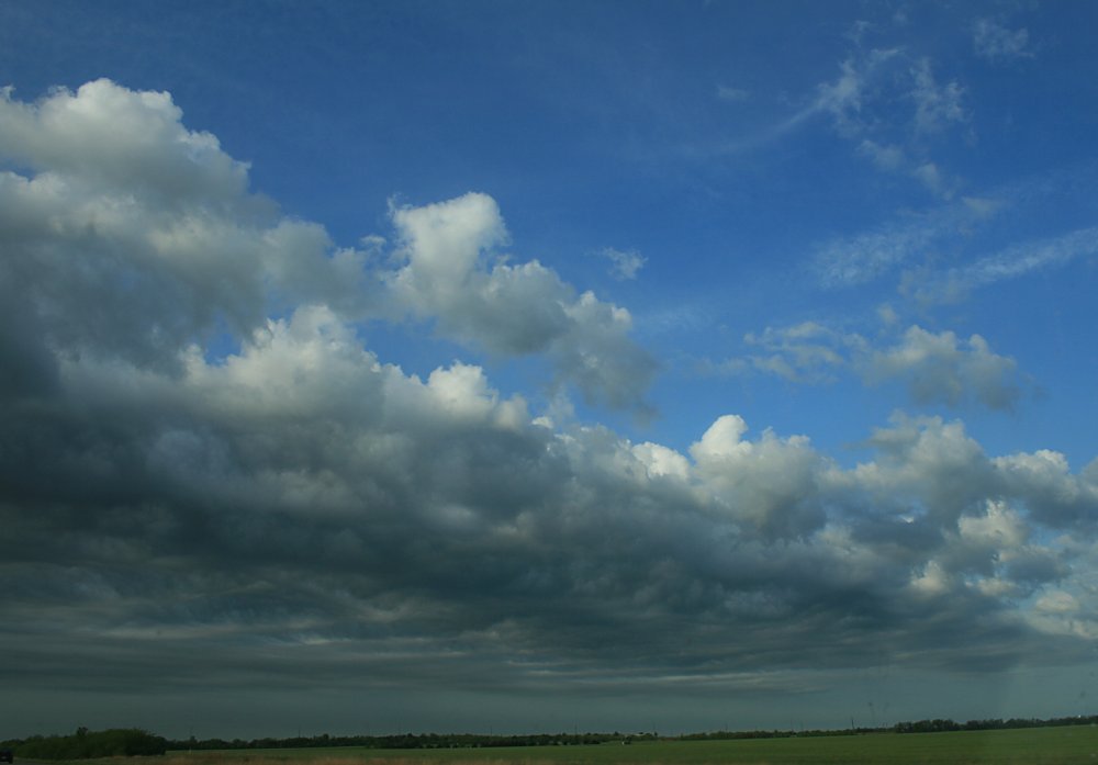 The alignment of Altocu marking the southward moving cold front, Ponca City, nthn OK |
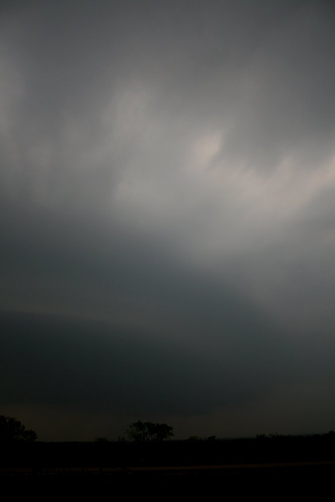
 The delicate, wavy bases of Altocumulus castellanus, Stillwater. |
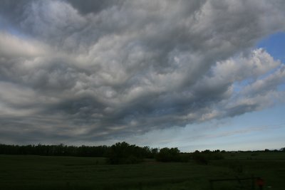 The delicate, wavy bases of Altocumulus castellanus, Stillwater. |
 32C /22C dewpoint and pathetic cumulus - the cap is not broken..Marietta, sthn OK |
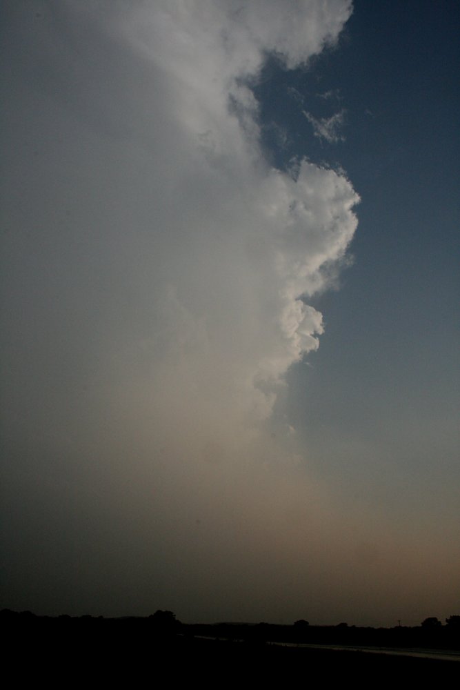
 An orphan turkey head - the cap is cracking. |
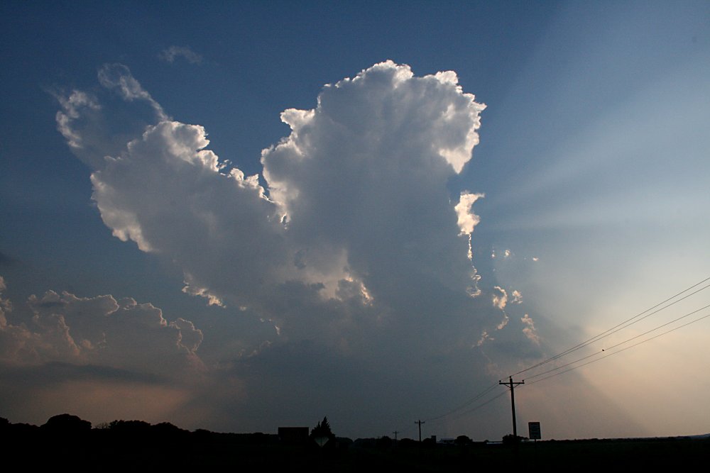
 A large turkey near Post Oak, TX |
 A large turkey near Post Oak, TX |
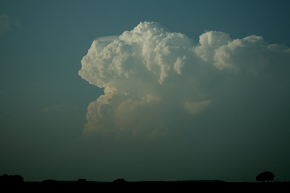
 The Post Oak storm blooms in just minutes. |
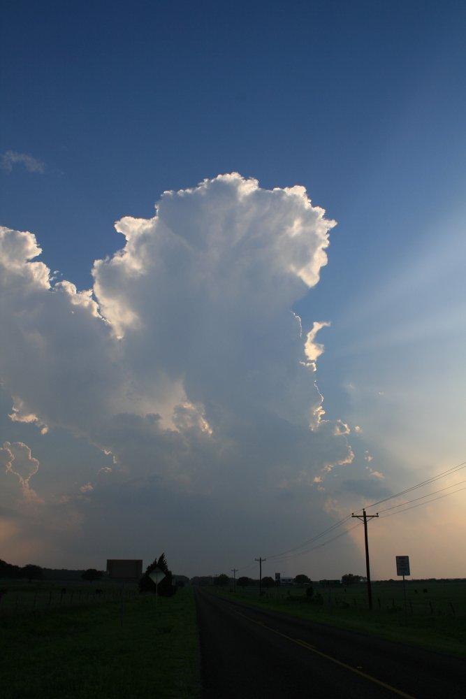 The Post Oak storm blooms in just minutes.
|
 The Post Oak storm becomes large and starts to develop distinctive base features. |
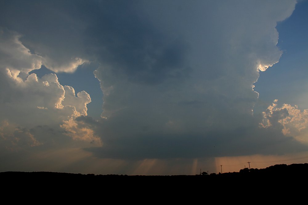 The rapid development of this storm was stunning! |
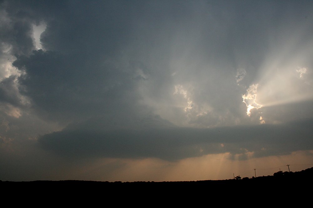
 A short infeed appears on the left updraft. |
 A short infeed develops a bell shape, Post Oak, TX |
 A short infeed develops a bell shape, Post Oak, TX |
 The Post Oak storm starts to split. |
 A central split has become prominent, with the southern portion of the storm moving right and the northern portion of the storm moving left. |
 A rain foot cascades from the decaying, completely separated southern cell. |
 The northern cell continues to grow strongly. |
 A massive overhanging anvil appeared on the northern cell. |
 A separate storm developing over southern OK, looking north from Post Oak. |
 The former left moving Post Oak storm suddenly erupts and pushes out a strong backshear. |
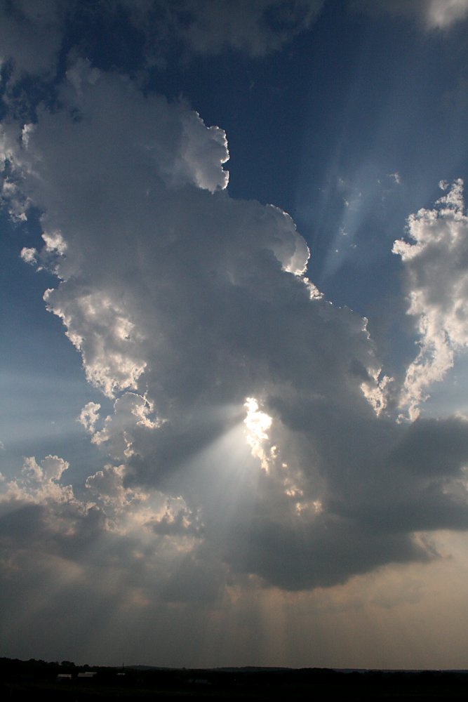
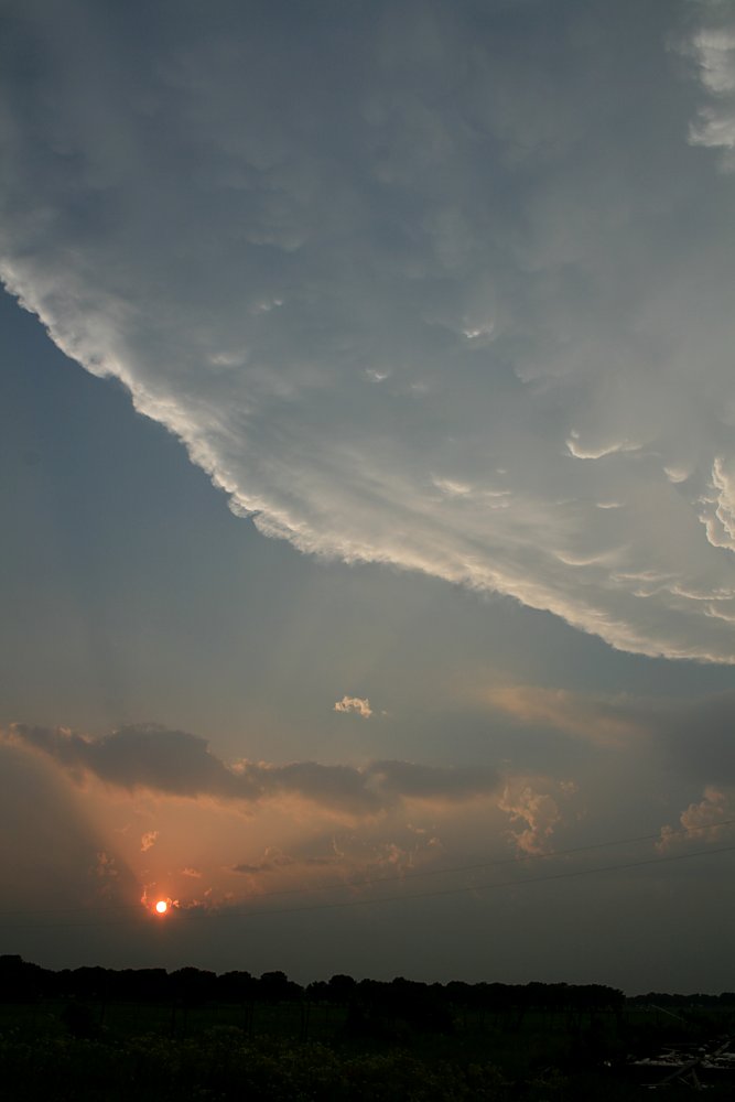 The stunning backshear dwarfs the setting sun - the storm is now located near Nocona. |
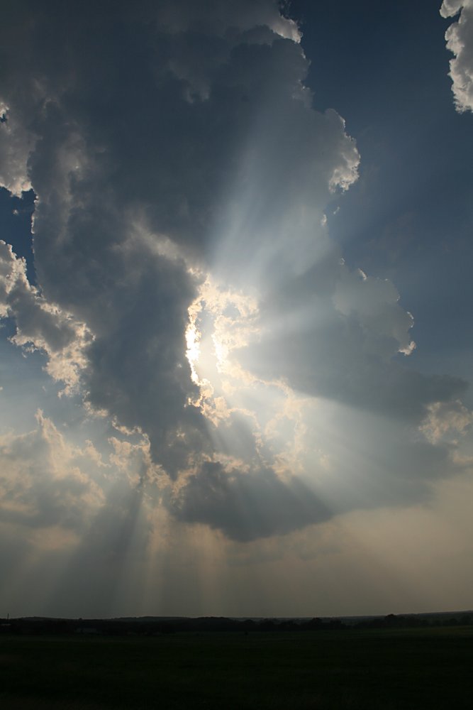
 The remarkable mothership style wall cloud near Nocona |
 When this image was taken, the supercell was returning a hook echo, Nocona, TX |
 The poor lighting conditions and hazy atmosphere do no justice to this storm.
|
 |
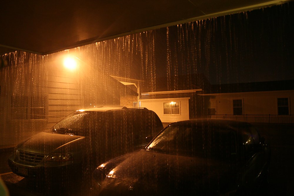 Just after we arrive at the motel, the deluge starts! |
|