| Stormchase
19th May 2009: NW Nebraska, Sheridan County Report: Clyve Herbert |
|
| Hands up all
those who would travel 750 miles (approx 1,100km) to chase a high based, high plains storm
in western Nebraska? Well my hand is waving high and after a long day's driving we managed
to get in under a very high based and photogenic multicell north of Alliance, NE. We left Little Falls, MN in bright sunshine, a gusty southerly and a temperature of 46F (8C)...a warm front was moving northwest from southern MN and this synoptic setup would send record high temperatures into southern and central Minnesota including 97F in Minneapolis while along the northern borders with Canada, maximum temperaures were struggling to get out of the mid 40'sF (7C). After a hard morning's driving, we passed through a mid level trough in central South Dakota, with an alignment of very high based Cb activity and virtually no precipitation reaching the ground. We dabbled in and out of a weird trough system through centr al South Dakota, with temperatures fluctuating between the high 90's and the mid 80's and fluky winds varying between SE & SW. We finally got onto the I-90 and travelled west to encounter scattered high based cumulus...to the far SW, we could see the fibrous anvils of distant thunderstorms. We turned south and headed through the weird eroded landscape of SW South Dakota (Badlands). The gradual rise in altitude is very subtle - as we pass through Pine Ridge and head south, road altitude levels approach 4,000'. The landscape here is mainly 50% clear to 50% pine forest. We could see a developing convergence band about 40 miles south of our location. The western horizon was marked by dead or dying anvils / storms, and under one dying storm, we noticed a surprising gustnado. The airmass here was relatively dry, and the storms were marked by very large anvils with little precipitation getting to the ground, and typifies the high based nature of the storms. After travelling west along Rte 20 for a short distance, we turned south on Rte 87, heading for Alliance, and along Rte 87 we lined up a large multicell moving northeast across Box Butte County to Sheridan County. Although not severe, the visual aspect of these high based, high country storms was spectacular. Most of the lightning appeared inter cloud with only sporadic cg's. We spent the next hour studying the set up and driving in and out of the storm area. For a short time, this storm developed a prominent flanking line (mid level) and even a weak RFD. As we stood near the edge of the flanking line, 3 large hailstones bounced on our car, followed by 20 large raindrops. Interesting patterns developed in the main updraft core, but soon after, the storm weakened. Thinking the storm was dying we didn't expect to see too much more action...we were wrong, in the dying stages, the storm released a microburst with estimated winds of 50knots, with dancing tumbleweeds flying everywhere. We escaped the area and headed south to Alliance.. Report: Clyve Herbert Photography: Jane ONeill / Clyve Herbert |
|
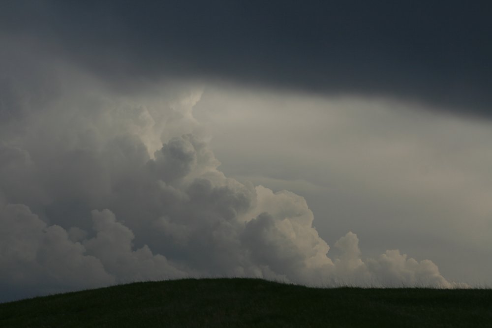 Updraft flanking line, north of Alliance |
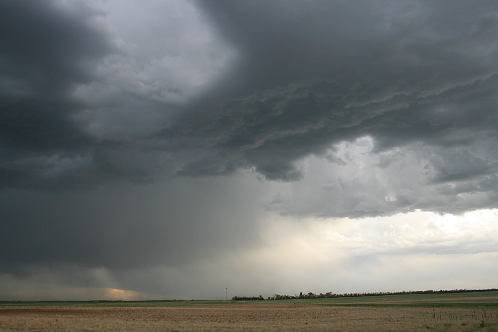
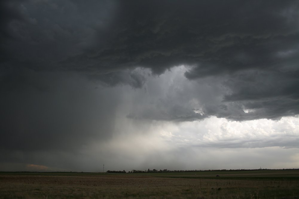
 Large anvils and little rainfall accompanied most storms |
 Gustnado spins near a microburst from a dying storm |
 High based multicell looking south from Hay Springs |
 The eastern quadrant with large outflow anvil
|
 The massive anvil and updraft area |
 The storm was propagating on an outflow boundary on its eastern quadrant but later developed an inflow flanking line on its western quadrant |
 Storm bases were in the vicinity of 14 - 15,000' |
 The storm here approaches its maximum intensity |
The unusual termination point of the flanking line, and a hole may indicate a weak RFD |
 Flanking line becoming disrupted by a subsidence hole |
Termination point of flanking line and suspected weak RFD |
 A weird half-circle clear slot which persisted for some time |
 Brief large hail fell as the precipitation core passed overhead |
 Anti-crepuscular rays mark the end of the storm. |
|