| Stormchase
20th May 2009: Nebraska supercell, Alliance to Thedford (the storm mainly affected
portions of Garden, Grant, Hooker & Thomas Counties) Report: Clyve Herbert |
|
| When you're
in an area of storm potential, that's not expected to break out till mid to late
afternoon, we opt to go sightseeing....and western Nebraska you can drive through the
weird sand dune country (near 4,000' ASL), go shopping in Alliance, visit the extensive
railway yards for those who prefer to gunzel (railfanning....wait for the 'Trains' page
coming soon), visit Chimney Rock (where we didn't pay $20 for a cap!!!) or visit Carhenge,
north of Alliance. All the time though, we were keeping an eye on any cumulus
developments...and by late morning, scrappy multicells were already breaking out to our
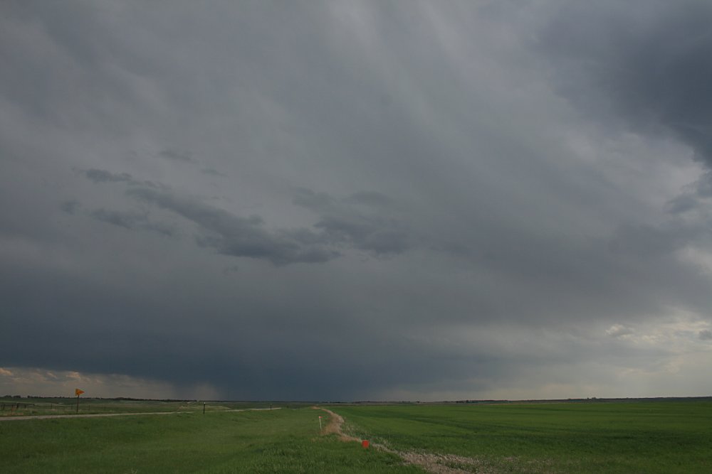
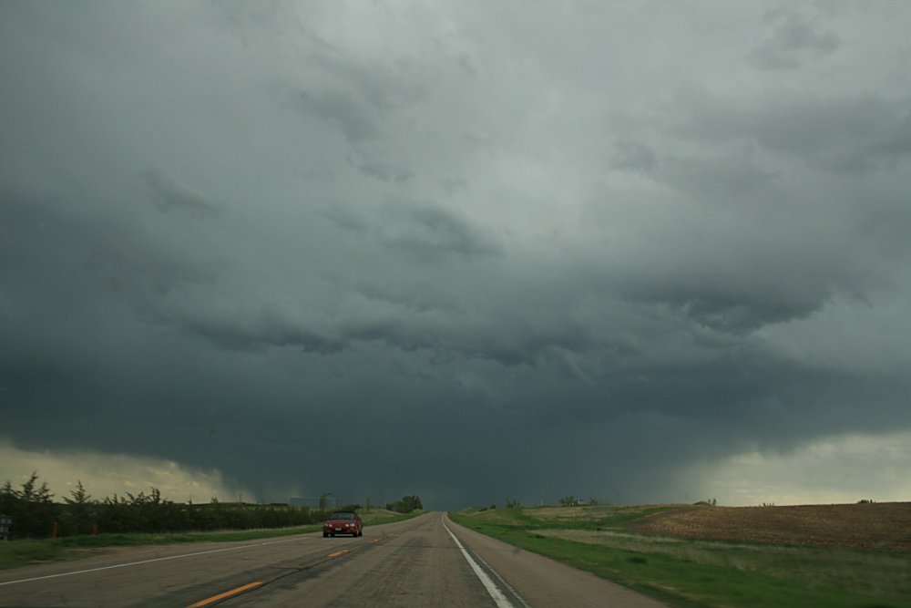
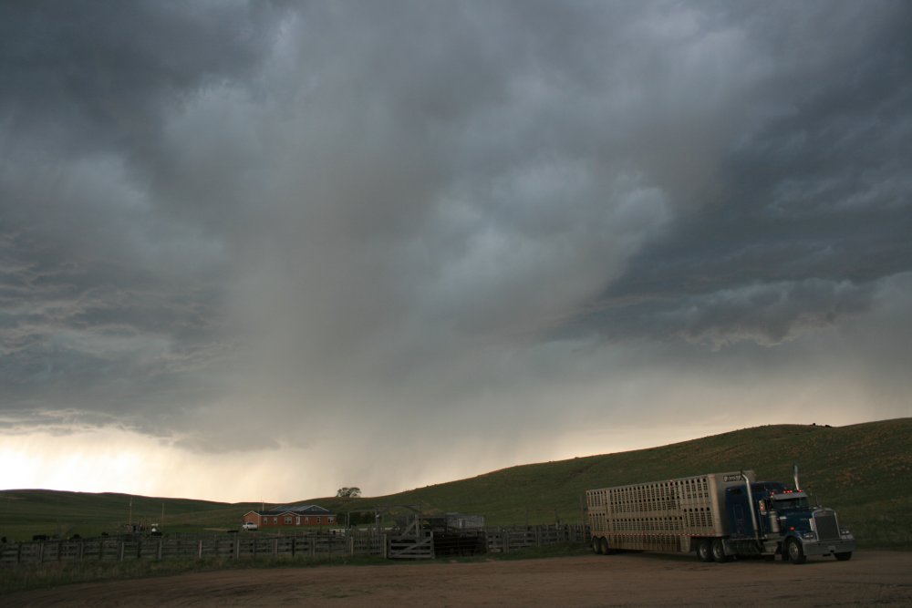
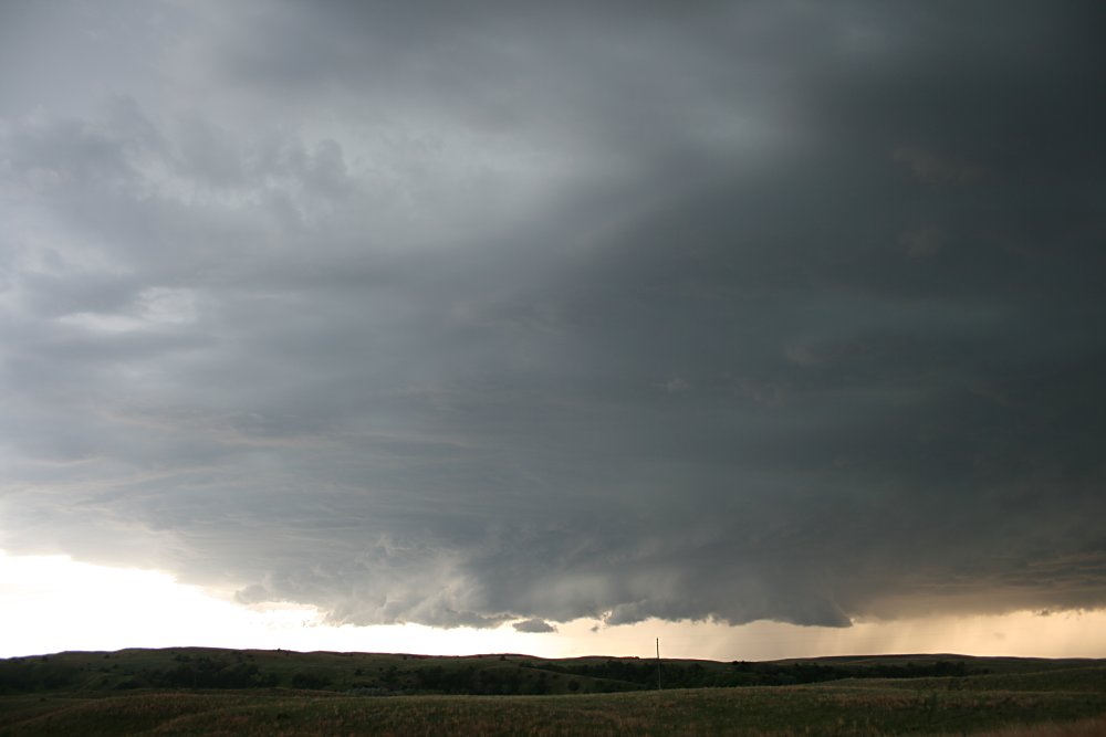
southwest between Wyoming and northeastern Colorado. We tag onto a cumulus alignment south of Alliance, which kept popping up pathetic turkeys that glaciated. The synoptic setup today, as we have found on other occasions in central USA, is rather complex. The surface cold front dribbles south through western NE, and we suspect also a prefrontal trough. An upper thermal trough is expected to enter the west of the state during the afternoon dropping mid and upper level temperatures. The dewpoints are relatively low, somewhere between 10 and 12C, but there is sufficient forcing from atmospheric considerations and surface temperatures are expected to reach the mid to high 80's (26-30C). Shear is not too bad either, and we note some of the weaker developments in the early afternoon are getting their tops blown off towards the northeast. A persistent and enlarging multicell complex has managed to get itself together southwest of Alliance and slides northeast. Again its difficult to comprehend that you are sitting near 4,000' in parts of western Nebraska, and these storms are high based (10-14,000'). The multicell, as it approached Alliance, was very lightning active, but we note the absence of ground strikes, with most lightning intracloud. Cascades of falling precipitation fall form the high bases, developing a bulbous shape as they approach the ground. The persistent nature of this multicell takes our interest, as it did for the Vortex2 team we encountered trying to surround the storm... We leave Alliance eastbound on Rte 2 with the specific aim of getting to the east side of the storm. Most of the precipitation appears to be falling on the west side of what appeared to be a linear updraft alignment. Occasionally we stop to photograph the magnificent precipitation shafts that cascade from the high bases. We note the storm is struggling to maintain organisation with rainshafts appearing all over the dark base area. Finally we move east of the rainband and find ourselves under a clear dark base extending towards the south. The patterned arrangement of the undulating dark bases is typical of high based storms. We do this for about half an hour and continuously watch outflow overrun the updraft region of the storm complex. Eventually after about an hour, the storm steps up to a different phase and appears to be bordering on supercell status. Lightning frequency increases markedly, then we notice a clear notch of rain free base extending to the south and separating itself from the main precipitation core. The embedded cells appear to be moving in a more northeasterly direction but the main updraft core and rain free base appears to be moving in a more easterly direction (a weak right mover on this marginally outflow dominated storm). For a brief few minutes, we video a small funnel near the centre of the main updraft core but soon even this area is overrun by outflow and precipitation. After another 20 minutes or so, the storm moves into top gear and for a while appears inflow dominated, producing a large wall cloud and a multitiered updraft. Lightning flickers constantly within the cloud structure. This is where the storm becomes rather odd and we suspect that it might have had an anticyclonic signature (hopefully to be confirmed). For the next half hour we note chaser convergence in the area and we video and photograph almost to the point of exhaustion. As late evening approaches and the light becomes poor, we find ourselves at Thedford, unaware that we've travelled almost 100 miles to the east of our chase start. The supercell collapses and we are engulfed eventually in a whiteout of hail and torrential rain and a microburst that slides our car partially off the road. Time for bed..... Report: Clyve Herbert Photography: Jane ONeill / Clyve Herbert |
|
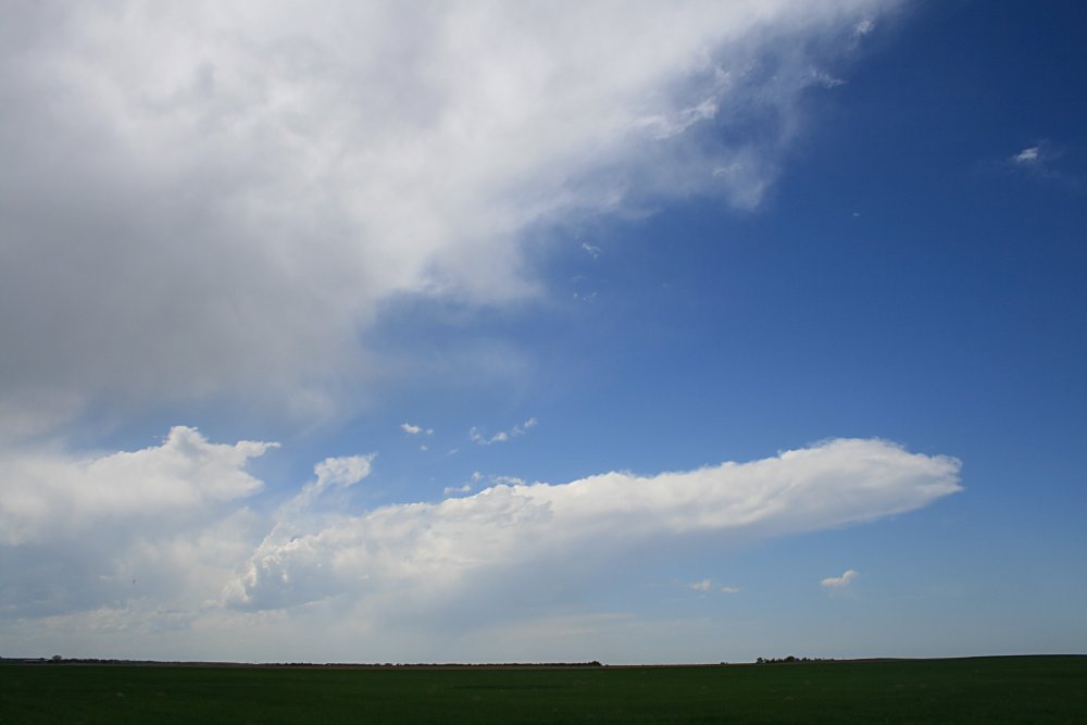 Weak cells with their tops being blown northeast by shear, Alliance |
 A separate cell develops on the northwest quadrant of the same storm, Alliance |
 Surprisingly, this cell develops weak rotation and starts to move towards the left, eventually breaking away from the larger multicell complex. The cell takes on a weak LP appearance. |
 |
 |
 |
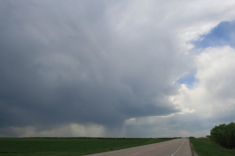
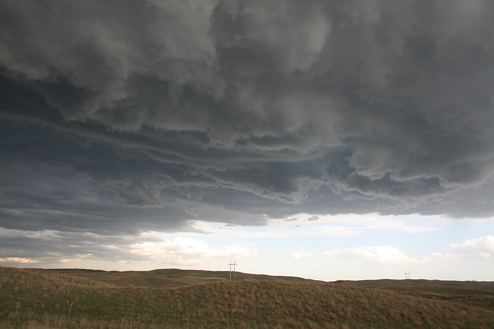
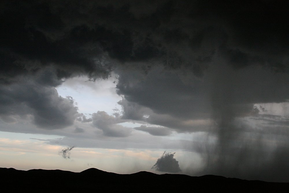
 The main high based multicell complex, passing SE of Alliance |
 |
 |
 Separate embedded cells cascade individual rainshafts |

|
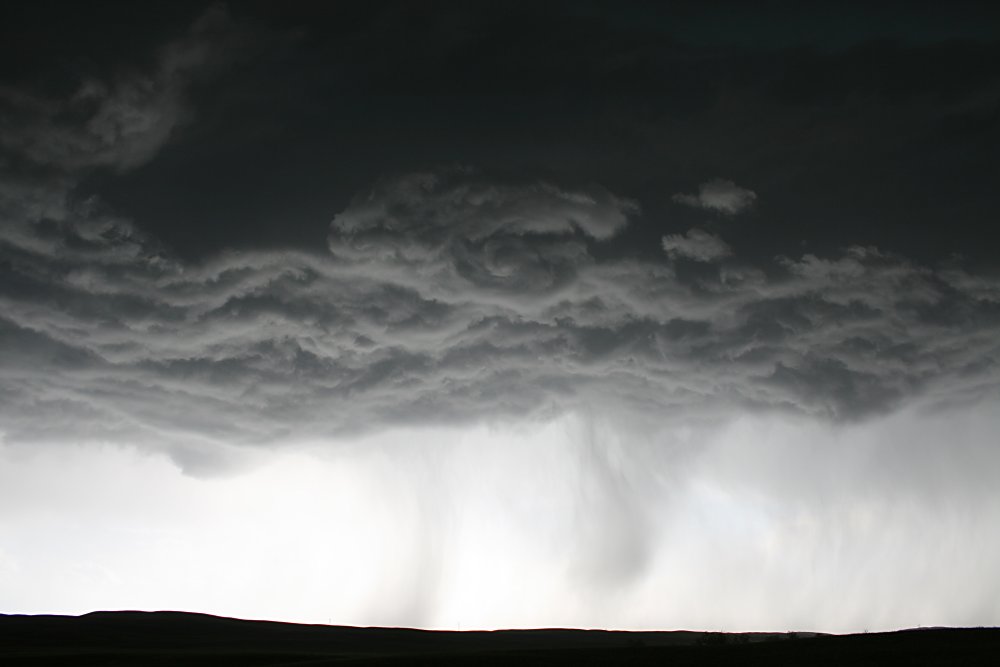
 Occasionally, a larger rainshaft appeared also producing small hail |
 |
 |
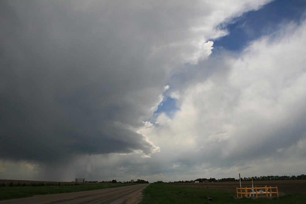
 At a later stage the storm starts developing a prominent rain free base and appears to be getting organised |
 |
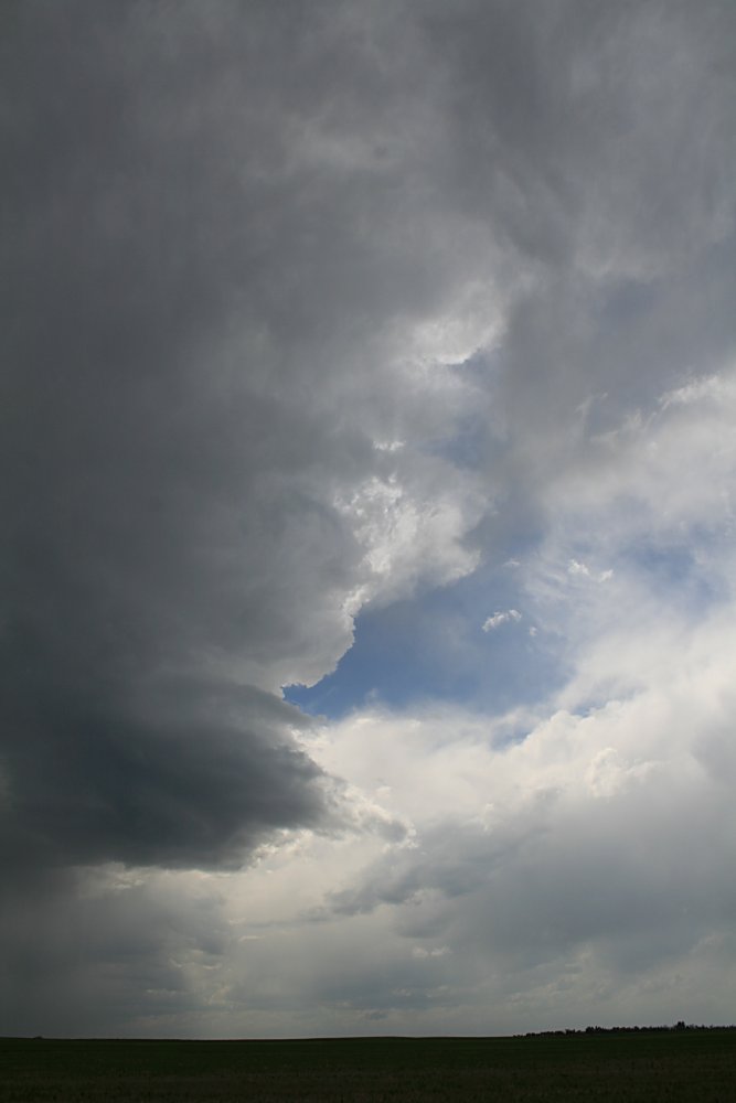
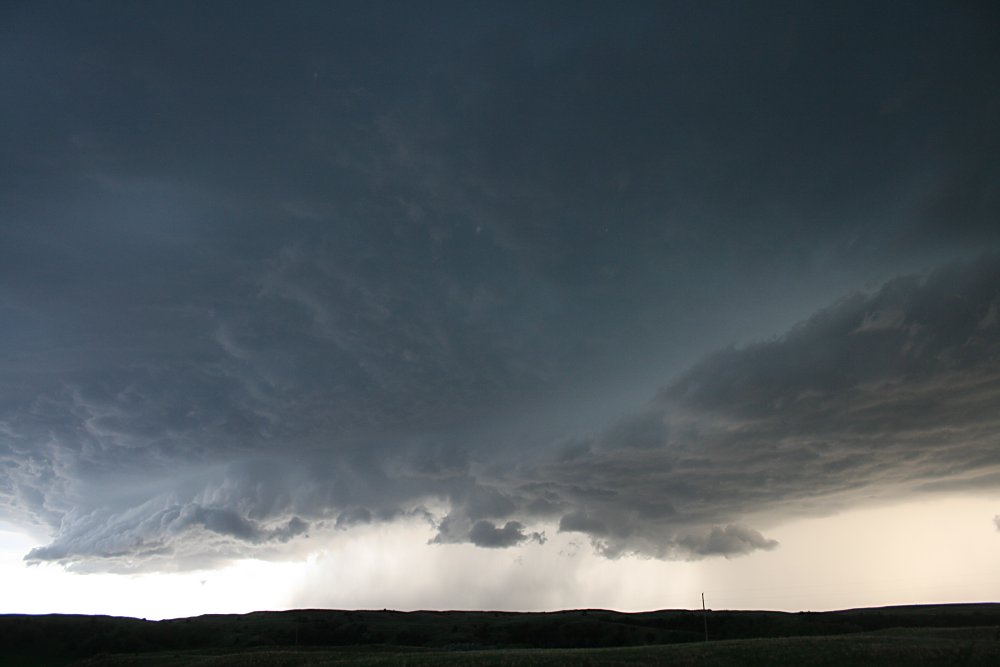
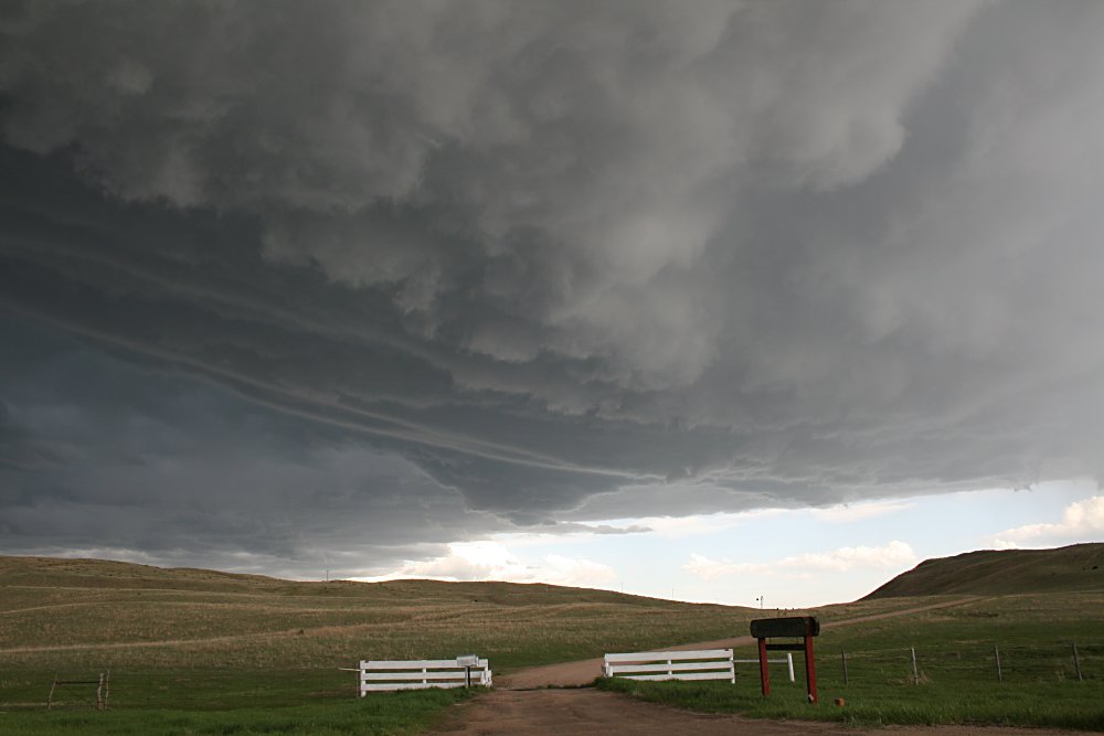
 A large rain free base area starts to poke southeast away from the main rain core, we suspect the storm is now approaching supercell status. |
 |
 |
 |
 |
 |
 |
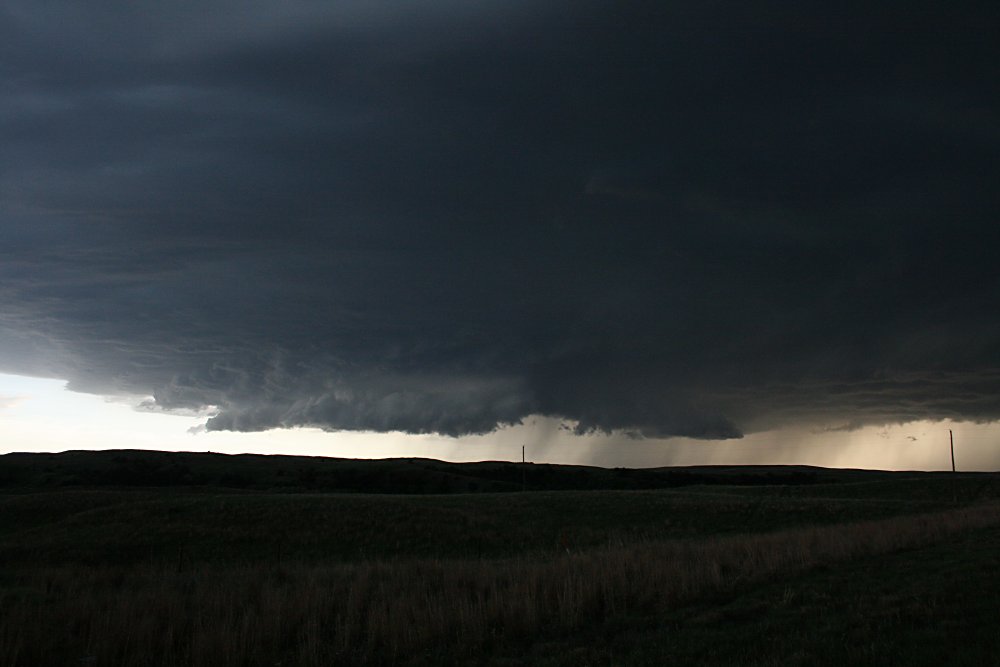 |
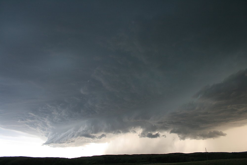
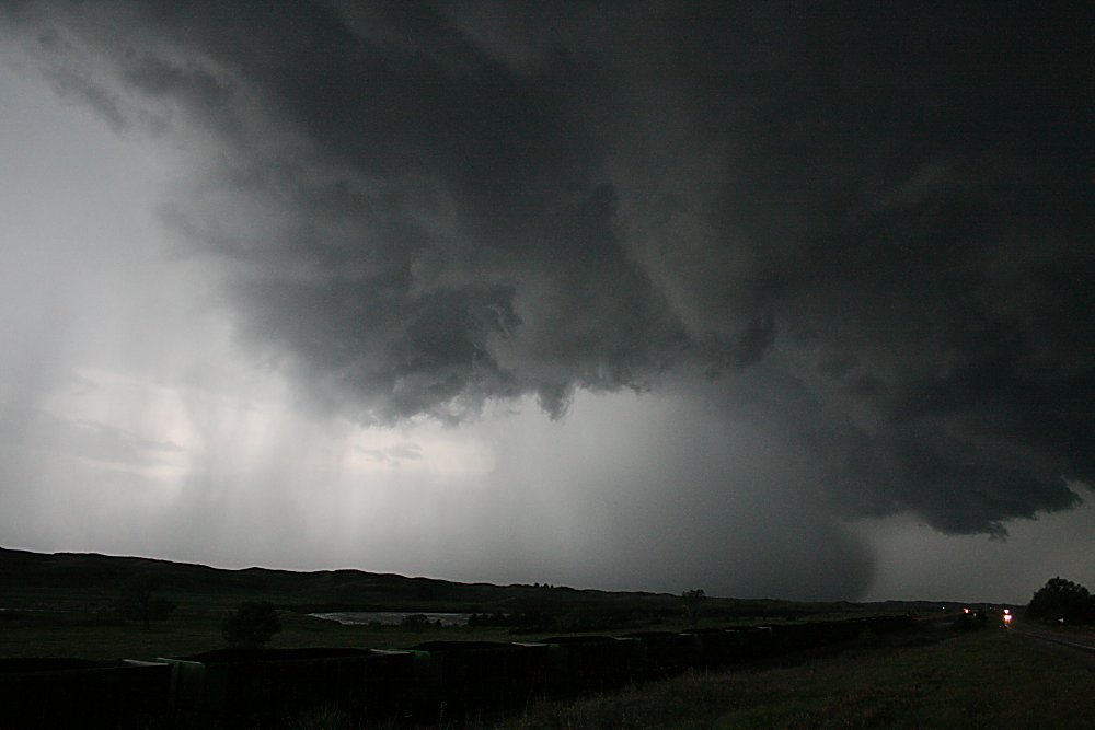
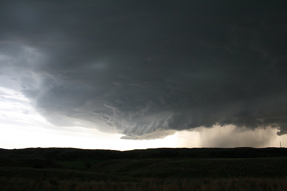 The main rain free base area becomes very prominent and was visually magnificent |
 |
 |
 The storm is at maximum strength here with a huge multitiered updraft, almost mothership appearance and a wall cloud that apparently showed anticyclonic rotation. |
 |
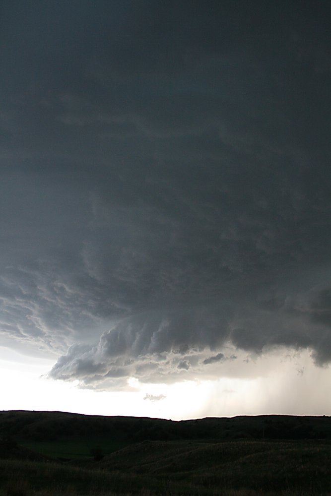
 Nearing the final stages just prior to collapsing, the wall cloud takes on a more rounded appearance and we were hoping to get lucky. Instead, the supercell collapsed |
 The collapsing cell produced at least 4cm hail, torrential rain, winds in excess of 50mph and flash flooding. |
|