| Stormchase
21st May 2009: SE Colorado multicell Report: Clyve Herbert |
|
| We travelled
south from Thedford to North Platte - the surface cold front had pushed through into
northern Kansas leaving behind a chilly, moist northeasterly surface breeze with
stratocu/stratus. Driving through the Sandhills south of Thedford in occasional drizzle
and a temperature in the low 50's / 11C, we decide on the way to visit North Platte
Railway Complex which has the largest railway marshalling yard in the world. South of
North Platte we start approaching the northern edge of the cold front - the synoptic setup
today has the cold front virtually stalling in northern Kansas and a rather complex
looking boundary zone wiggles southwest from central west Kansas into southeast Colorado. Passing through the cold front, the temperature rises from the mid 60's / 18C to the high 70's / 25C. We emerge from the murky low stratocu to patchy altocumulus and sunshine. We decide to head to central west Kansas to ride a weak boundary line which shows up on the visible satpic. Approaching late afternoon, there are good prospects for at least multicell storm activity. Just north of Tribune, we spot an alignment of congesting cumulus which extends more or less west-east, however it had an odd dog leg near the KS/CO border where the alignment changes to a more SW-NE direction. The boundary line is also moving in an unusual direction, from the SE to the NW. Within half and hour, we are heading south on a back road that straddles the CO / KS state line, and from here we could see developing multicells with nice towers starting to glaciate. We head west along Rte 50 to Granada and spend a pleasant hour watching a rather strong line of multicells dropping cg's and interesting rainshafts. Occasionally, weak inflow bands appeared with a few lowerings. Eventually the multicell complex merged with a much larger MCS to the northwest and degenerated to a broad rain area. Report: Clyve Herbert Photography: Jane ONeill / Clyve Herbert |
|
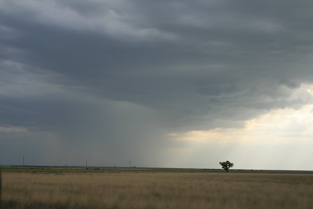
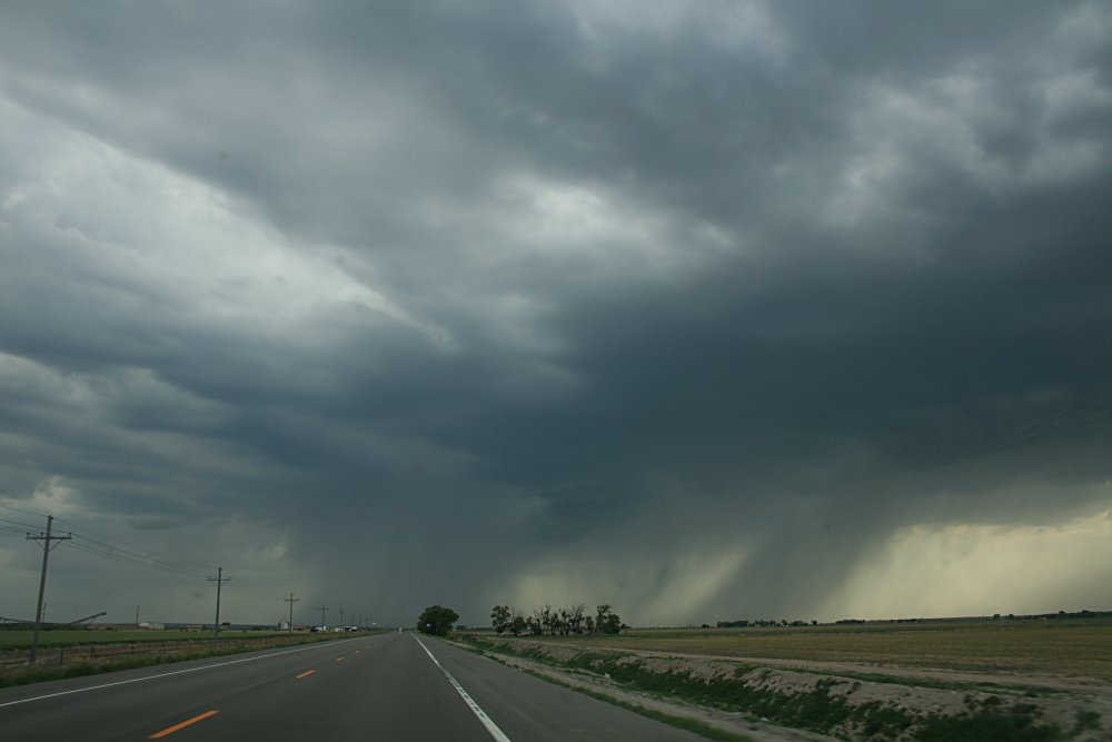
 Appearance of deepening cumulus along boundary line, far central west KS /CO state line |
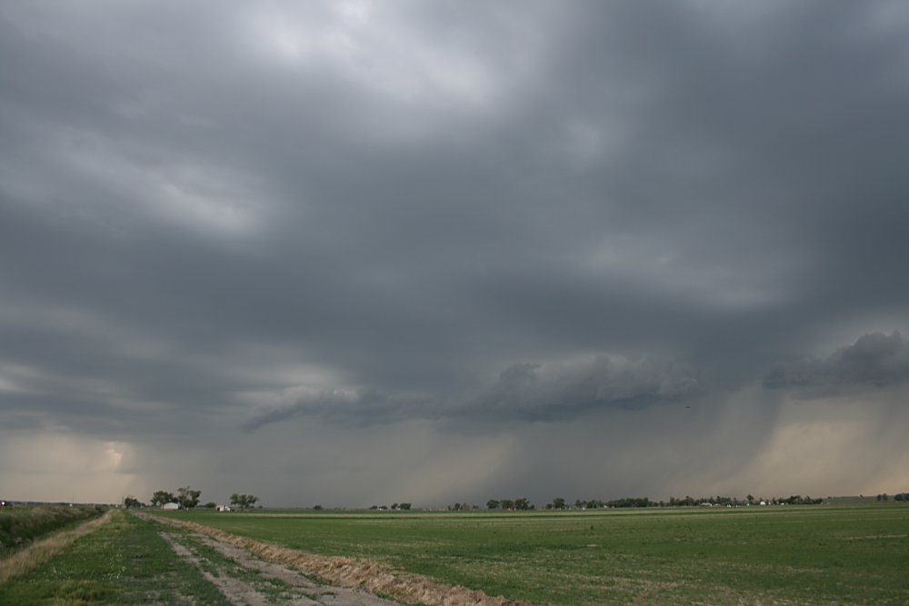
 Base features southeast flank developing multicell near Holly. Storm moving northwest |
 Developing multicells near Holly |
 Multicell structure, Holly |
 A plume of dust feeds into a strengthening multicell, Granada |
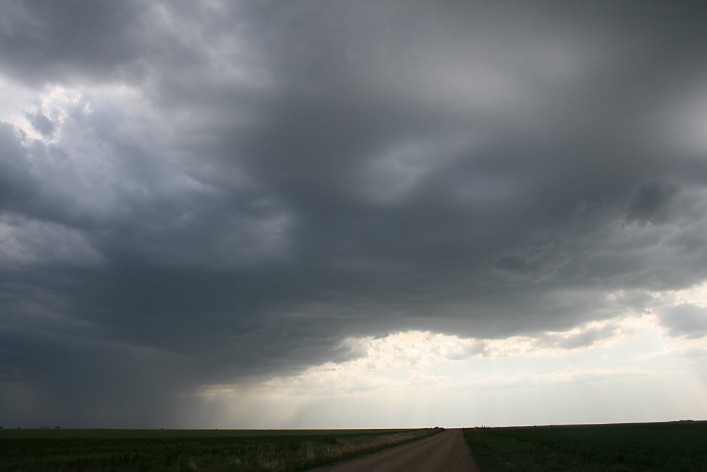
 Base features and rain shafts, strengthening multicell, Granada |
 Attractive weaker cell northeast of Granada |
 Weak banded midlevel inflow and rainshafts, Granada |
 Eventually, the entire boundary line generated storms from SE CO to W & NW KS |
 We are thrilled with anything that we find in the USA!! |
|
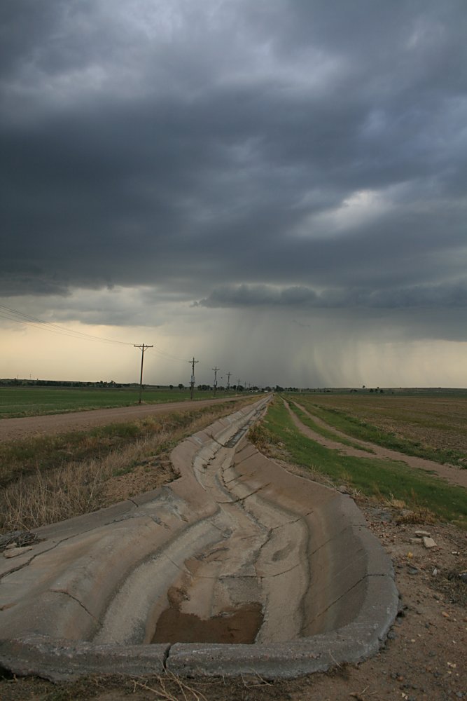
Arty - farty storm pic! |
|