| Stormchase
24th May 2009: Lusk district, Wyoming Report: Clyve Herbert |
|
| Today was to
prove a busy storm day...after the Wheatland storm weakened, we drove east to Lingle, WY.
A better convective field appeared near the southeast WY/NE panhandle border. From Lingle,
we headed north to Lusk (again) following a series of potent multicells. It was getting
late and the storms were starting to weakly organise. A large multicell between Lingle and Lusk collapsed and sent out a reasonable gust front. Pretty soon, storms were developing ahead of the outflow boundary near Lusk. The storms appeared to be generating in the midlevels, however what happened just east of Lusk surprised us....where a strong pulse ingested the outflow gustfront into its rotating base. We watched the rotation for about 5 minutes before the cell collapsed, sending out another outflow guster on its northwest flank. Report: Clyve Herbert Photography: Jane ONeill / Clyve Herbert |
|
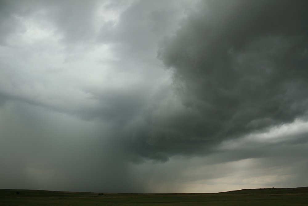
 Curling rainfoot near Lingle |
 Attractive gustfront between Lingle and Lusk |
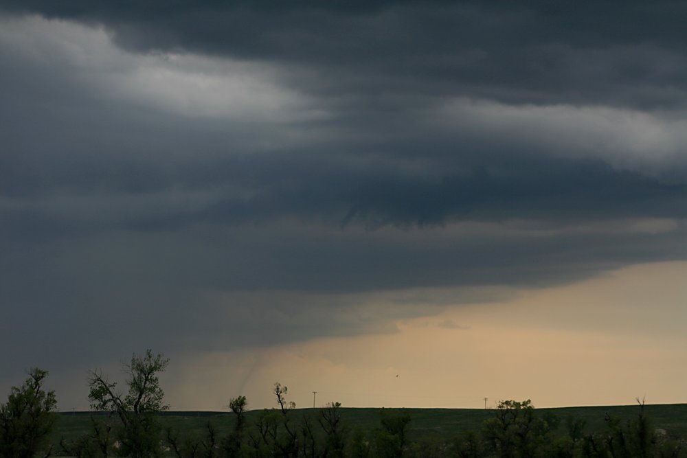 Spot the landspout?! We were surprised to notice a weak landspout on the inflow on a storm between Lingle and Lusk - lasted about 5 minutes |
 Fast moving gustfront SW of Lusk moving NW |
|
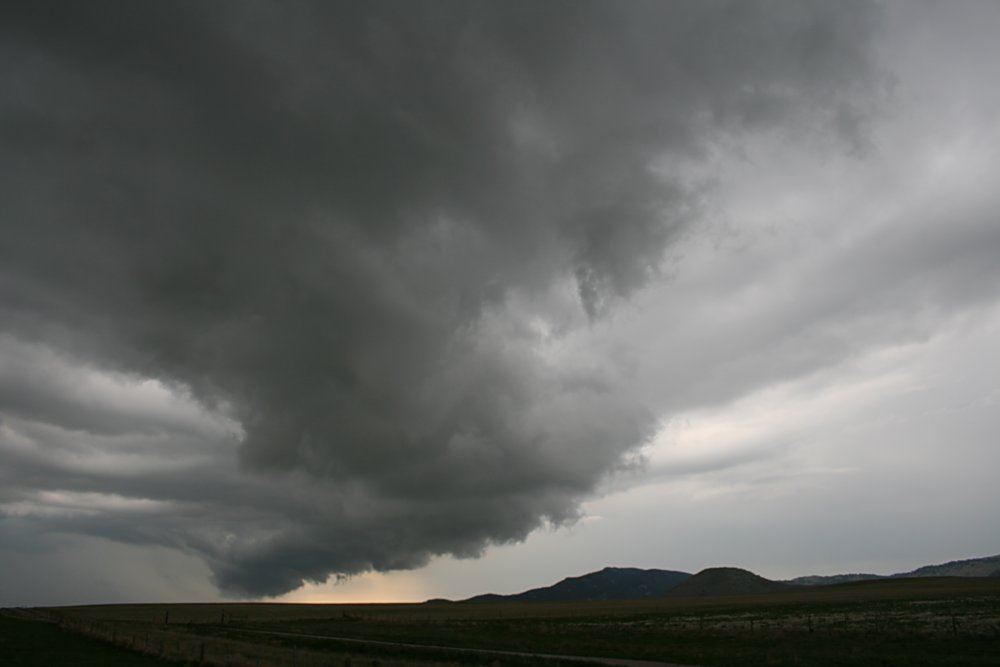
The gustfront catches up with the Lusk storm |
 The gustfront rotates into the base of the Lusk storm - rotation lasted about 5 minutes.... |