| Choosing a storm target is a matter
of scale...it's easy to come up with a location which is 500 miles in diameter for
potential storms...the hard bit is reducing the storm target to a few tens of miles and
being in the right place at the right time....and this can often be a frustrating and
emotional experience if you are in the wrong place. The major source of data in the USA for storms is the NWS Storm Prediction Center. Other sources include an arrangement of model predictions provided by various establishments or the TORCON rating provided by The Weather Channel.....AUSSKY prefers to use a mix of data from the Storm Prediction Center and occasionally refer to the TORCON ratings. Virtually all of this data is for a larger scale target location. AUSSKY uses this data and our own analysis to try and reduce the scale of the target, using an arrangement of surface and upper atmospheric information. There have been spectacular failures by both the NWS and the TORCON ratings that could be regarded as armchair busts....chasers also experience spectacular failures, sitting at a TORCON rated locality of 7/10 with no more than a faceful of dust, stale coffee and a day's worth of junk food for the experience..... Today, our target is the Texas Panhandle with a TORCON rating of 5. But there are so many things to see on the way to Texas that we constantly stop to photograph trains and wildflowers....we spend a couple of hours at White Deer, Texas watching mammoth freight trains zip past...by mid afternoon the first storms are developing on the dryline near Amarillo and we head west. We end up in the he Bates Canyon area to photograph developing thunderheads but they look messy. Eventually we follow a left moving LP structured storm and we head NE to Stinnett...but as predictions would have it, this area fails to produce anything more than a few briefly severe storms. We watch our LP left mover virtually evaporate within half an hour..although the orphan anvil was still sparking a few lightning bolts!! We spot to the NE an impressive arrangement of storm cells in Kansas, and one of these supercells was near Greensburg - ironically where we started our day.... We spend the next 3 hours racing NE through the Texas Panhandle, the Oklahoma Panhandle and Kansas to eventually turn east and follow the south side of an immense supercell north of Woodward. Unfortunately though, its getting dark. For the next 70 miles we pace a lightning lit wallcloud...the strobing lightning keeps the structure of the storm in view. Eventually, the cell crosses the road in front of us and we are enveloped in a 60mph northerly outflow/RFD and blinding rain. Things are getting nasty! We head south to avoid the mesocyclone just to our east and end up east of Jet. The blinding rain stops...and so does the wind all of a sudden....we pull over, wind down the window as an immense lightning lit wallcloud looms just ahead of us. We can hear a distant roar and a rumbling sound to our east....we stay put...our radar is down and we are literally flying blind..... We eventually dribble east then head north to Hwy 11 near Medford where we are stopped by emergency workers. A gentleman explains that the road to Medford is blocked by debris...a tornado had torn a track across Hway 11 tearing our telegraph poles and trees. Time to go home to Hillsboro Kansas...we pick our way north along county roads in strobing lightning and eventually make it to the Kansas Turnpike through Wellington, arriving at Hillsboro at 2am. There's nothing better than the feel of your own bed after an almost 1000 mile round trip!! |
|
 Eastbournd double stack near Greensburg, Kansas Photo: Jane ONeill |
 We are continually amazed by the amount of tonnage hauled by railways in America. East and westbound crossing, SW of Greensburg. The westbound shows the pusher on the rear. Photo: Jane ONeill |
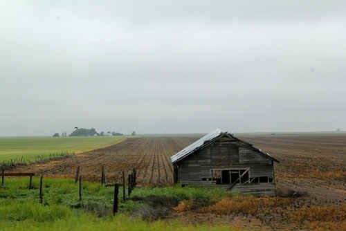 One of the many isolated cabins found on the prairie, central USA. Photo: Jane ONeill |
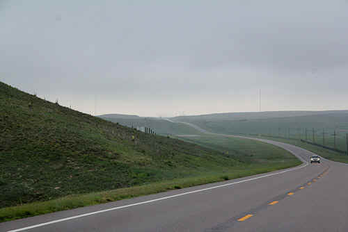 Texas bound, early monring mist clearing. Photo: Jane ONeill |
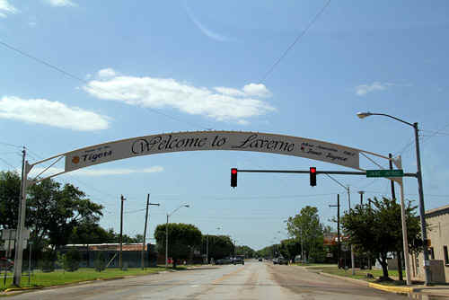 Laverne......the claim to fame.. Miss America 1967!! Laverne's other claim to fame are the occasional tornadoes. Photo: Jane ONeill |
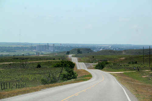 Road to Canadian, TX Panhandle Photo: Jane ONeill |
 Train action. Canadian. Photo: Jane ONeill |
 Eastbound train, Canadian. Photo: Jane ONeill |
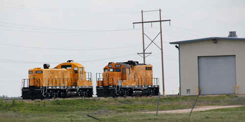 Couple of switchers, Pampa, TX Photo: Jane ONeill |
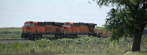
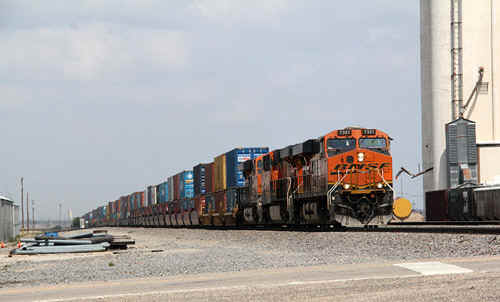
 Eastbound double stack, White Deer, TX Photo: Jane ONeill |
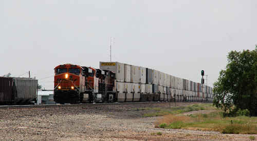
 White Deer is a busy location for trains,we saw 6 in les than an hour. Photo: Jane ONeill |
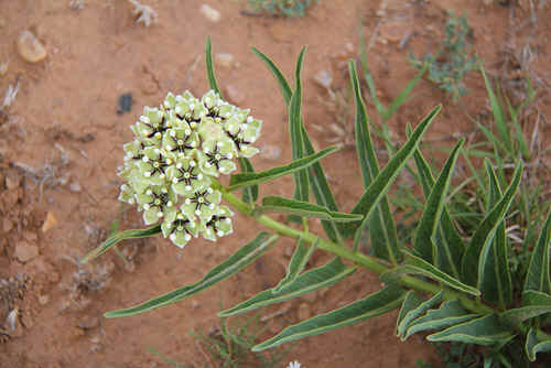
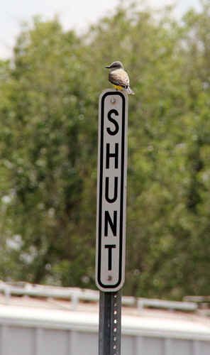 local birdlife, White Deer. Photo: Jane ONeill |
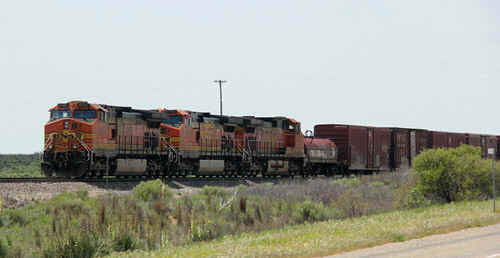
 Westbound double stack, White Deer Photo: Jane ONeill |
 Westbound double stack, White Deer Photo: Jane ONeill |
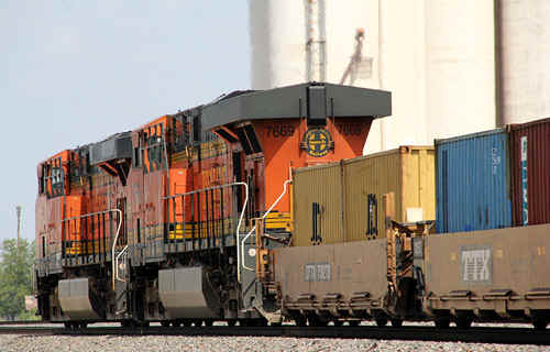 Westbound pusher units, White Deer. Photo: Jane ONeill |
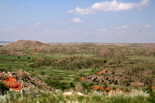 Bates Canyon, TX Panhandle. A significant anthropological site. Photo: Jane ONeill |
 |
 |
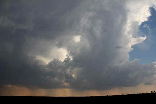
 When storms develop along the dryline they evolve very quickly. The underside of the anvils become good photographic material. Photo: Clyve Herbert Photo: Clyve Herbert |
 Bludgeoning anvil near Amaraillo...first storm along the dryline. Photo: Jane ONeill |
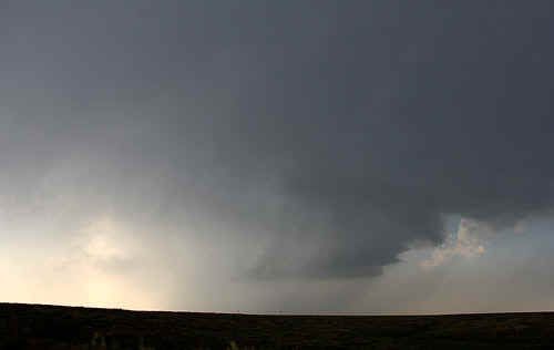
 Despite the predictions of supercells, the setup after initiation looked highly suspicious for anything other than briefly severe storm cells.Photo: Clyve Herbert |
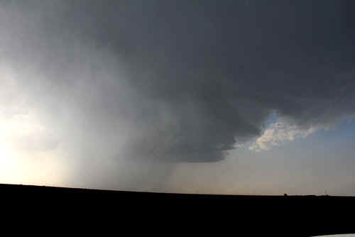
 Impressive updraft buried amongst anvil debris. Photo: Clyve Herbert |
 Photo: Clyve Herbert Photo: Clyve Herbert |
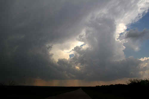 Photo: Clyve Herbert |
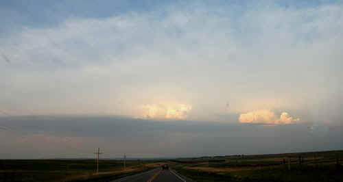
 Our high hopes were dashed wihen this LP collapsed before our eyes in less than half an hour...we headed off to Kansas instead...oh, and by the way, this storm was rotating! Photo: Jane ONeill |
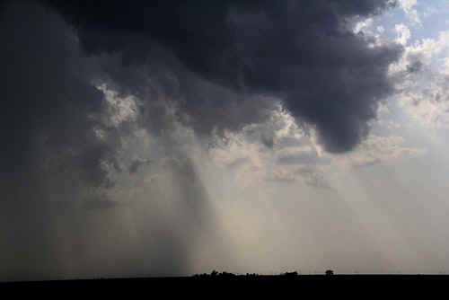 Photo: Jane ONeill |
 Photo: Clyve Herbert |
 We chase a left mover that evolves into LP type structure. Photo: Clyve Herbert |
 We had high hopes for this LP storm. Photo: Clyve Herbert |
 Distant cells bloom in Kansas. Photo: Clyve Herbert |
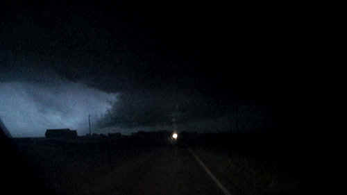
Lightning illuminated tornadic supercell wallcloud SW of Medford, OK Video Capture: Clyve Herbert |
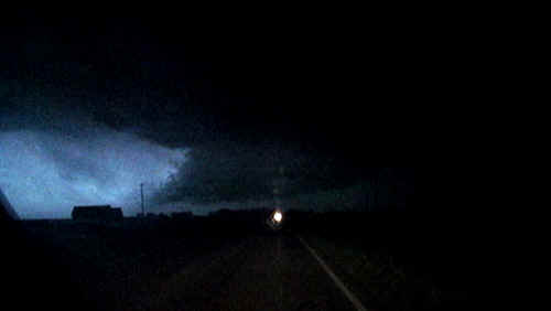
Lightning illuminated tornadic supercell wallcloud SW of Medford, OK Video Capture: Clyve Herbert |

Lightning illuminated tornadic supercell wallcloud SW of Medford, OK Video Capture: Clyve Herbert |
|
| Stay tuned for the next episode... | |